Disclosure : This site contains affiliate links to products. We may receive a commission for purchases made through these links.
Idanha a Nova
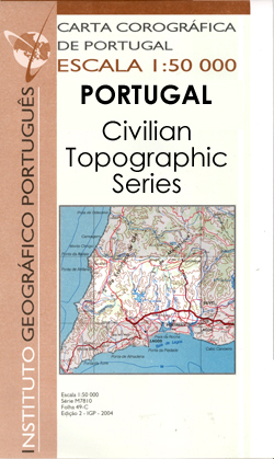
Topographic survey of Portugal at 1:50,000 from the Instituto Geogrรกfico Portuguรชs, the country’s civilian survey organisation. The maps have contours at 25m intervals and in addition to the standard features shown on topographic mapping at this scale also indicate various types of vegetation (vineyards, olive groves, etc). Each sheet covers an area of 32 x 20km (20 x 12.5miles approx). The maps have latitude and longitude margin ticks at 1’ intervals and UTM coordinates for the map corners ‘“ each sheet also shows conversion details from BBLx (Bessel-Bonnie system, Datum Lisbon) to UTM. Map legend is in Portuguese only.EDITION DATES: most titles in this series have now been updated in the 1990s or later.To see all the titles in this series please click on the series link.

Related Products:
 Idanha-a-Nova
 Vila Nova de Ourem
 Vila Nova de Foz Coa
Pavia
Guimaraes
Guarda
Chaves
Montalegre
Rebordelo
Penafiel
Caminha
Bordeira
Macao
Alenquer
Cascais
Sintra
Estremoz
Aljustrel
Grandola
Moura
Serpa
Beja
Messejana
Ourique
Odemira
Cercal
Mertola
Odeceixe
Alcoutim
Albufeira
Portimao
Faro
Leiria
Abrantes
Lourinha
Tavira
Ameixial
Alijo
Alobaca
Pomba
Vila Nova de Foz Coa
Pavia
Guimaraes
Guarda
Chaves
Montalegre
Rebordelo
Penafiel
Caminha
Bordeira
Macao
Alenquer
Cascais
Sintra
Estremoz
Aljustrel
Grandola
Moura
Serpa
Beja
Messejana
Ourique
Odemira
Cercal
Mertola
Odeceixe
Alcoutim
Albufeira
Portimao
Faro
Leiria
Abrantes
Lourinha
Tavira
Ameixial
Alijo
Alobaca
Pomba