Disclosure : This site contains affiliate links to products. We may receive a commission for purchases made through these links.
Iceland Touring Map
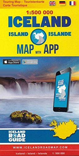
Touring map of Iceland at 1:500,000 from Vegahandbokin, with an index which includes topographic features presented in a separate booklet, plus on the reverse of the map photos and brief descriptions of various places of interest, etc.The map presents Iceland’s topography by bold if undifferentiated altitude colouring contracting the interior against the coastal areas. Main glaciers areas are clearly indicated. Road network distinguishes between different types of gravel roads, but overall fewer small local roads are shown than on other locally produced road maps of Iceland. Driving distances are marked on main routes. The map is extensively annotated with small icons indicating various tourist facilities and places of interest including emergency shelters, different types of accommodation, hot springs, recreational facilities, etc. The map has latitude and longitude lines at 20’ and 30’ respectively. The index is in a separate booklet and includes names of volcanoes and selected other topographic features.On the reverse numerous places of interest are illustrated by colour photos and presented with their GPS waypoints, a brief description and a QR code for further information. Also provided is a distance table, a glossary of Icelandic place names, facts and figures about the country. Map legend and all the text include English.

Related Products:
 Iceland: Mรกl og Menning Touring and Hiking Maps
 Iceland Michelin
 Iceland Western Fjords
 Iceland F&B
 Iceland North: Hvammstangi – Mรฝvatn Lake
 Reykjavik & SW Iceland ITMB
 Iceland Reise Know-How
 Iceland West: Akranes – Eirรญksjรถkull Glacier
 Iceland Highlands
 Iceland East: Vatnajรถkull – Egilsstaรฐir
 Iceland South East: Southern Vatnajรถkull
 Iceland Road Atlas 500K
 Iceland Cental: Langjรถkull – Hofsjรถkull – Vatnajรถkull
 Iceland North East: Hรบsavik – Lake Mรฝvatn – Bakkagerรฐi
 Iceland: Mรกl og Menning 200K Road Maps
 Iceland South-West: Reykjavik ‘“ Eyjafjallajรถkull
 Iceland ITMB
 Iceland Highlands IDNU 5
 Iceland North-East IDNU 3
 Iceland North East
Iceland North-West IDNU 1
Iceland South-West IDNU 2
Iceland South-East IDNU 4
Iceland North East
Iceland North-West IDNU 1
Iceland South-West IDNU 2
Iceland South-East IDNU 4
 Iceland South West
 Iceland North West
Iceland South East
Iceland North West
Iceland South East
 Melbourne to Adelaide – featuring the Great Ocean Road and Victorian Goldfields Hema Touring Map
 Iceland Central Highlands
Iceland: 250K Topographic Survey Road Maps
Iceland Central Highlands
Iceland: 250K Topographic Survey Road Maps
 Iceland F&B World Compact Map
 Iceland – Faroe Islands Marco Polo Road Map
 Israel Super Touring Map
Iceland: Mรกl og Menning 300K Road Maps
Israel Super Touring Map
Iceland: Mรกl og Menning 300K Road Maps
 Iceland: Topographic Hiking and Tourist Maps
 Gran Canaria F&B
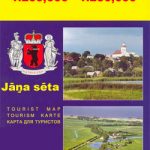
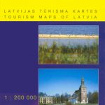 Latvia: Jana Seta 200K Regional Touring Maps
 Lithuania: Jana Seta 200K/250K Regional Touring Maps
 Iceland Road Guide
 Iceland: Sogur Utgafa 100K Recreational Maps
 Iceland Flexi Map