Disclosure : This site contains affiliate links to products. We may receive a commission for purchases made through these links.
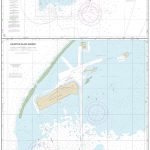
Iceland South-East IDNU 4
South-East Iceland at 1:250,000 in a series of detailed, contoured road maps of Iceland with cartography based on the country’s topographic survey, supplemented by additional tourist information. Contours are at 50m intervals, enhanced by relief shading with additional graphics and colouring showing different types of terrain and vegetation: glaciers, lava fields, sand, forest and shrubbery, cultivated land, etc. Boundaries of the national park and other protected areas are marked.Road detail includes gravel/earth roads, fords over rivers, petrol stations, and intermediate driving distances. A wide range of symbols highlight various types of accommodation including tourist huts and campsites, sport and leisure facilities, places of interest, etc. Latitude and longitude lines are drawn at 15` and 20` intervals respectively. The maps have no index. Map legend includes English.To see the other titles in this series please click on the series link.

Related Products:
 Iceland North-East IDNU 3
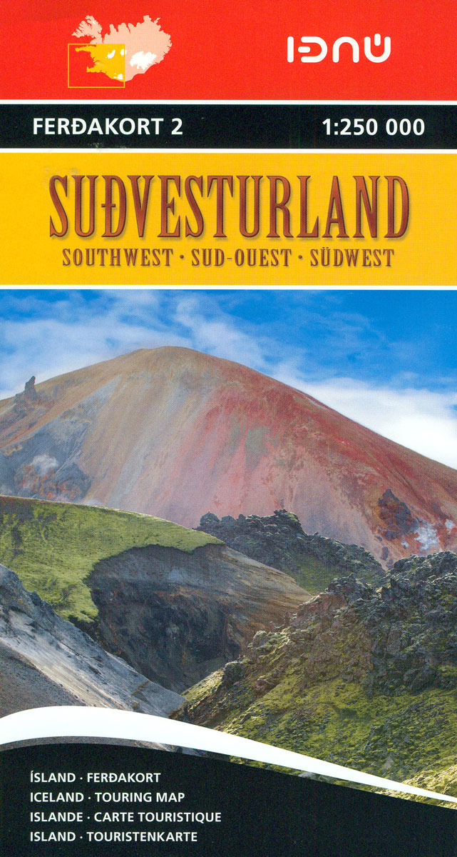
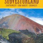
Iceland South-West IDNU 2
Iceland North-East IDNU 3
Iceland South-West IDNU 2
 Iceland Highlands IDNU 5
Iceland North-West IDNU 1
Iceland Highlands IDNU 5
Iceland North-West IDNU 1
 Iceland Highlands
Iceland: 250K Topographic Survey Road Maps
Iceland Highlands
Iceland: 250K Topographic Survey Road Maps
 Iceland South East: Southern Vatnajรถkull
 Iceland South East
 Iceland South-West: Reykjavik ‘“ Eyjafjallajรถkull
 Iceland East: Vatnajรถkull – Egilsstaรฐir
 Iceland North East: Hรบsavik – Lake Mรฝvatn – Bakkagerรฐi
Iceland North East
Iceland North East: Hรบsavik – Lake Mรฝvatn – Bakkagerรฐi
Iceland North East
 Iceland South West
 Iceland Western Fjords
 Iceland F&B
 Iceland North: Hvammstangi – Mรฝvatn Lake
 Iceland West: Akranes – Eirรญksjรถkull Glacier
 Iceland: Mรกl og Menning 200K Road Maps
 Iceland Wall Map
 Iceland Road Atlas 500K
 Iceland Cental: Langjรถkull – Hofsjรถkull – Vatnajรถkull
 Iceland Mal og menning Tourist Map
 Iceland North West
 Reykjavik & SW Iceland ITMB
 Iceland Central Highlands
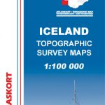
 Iceland 1:100,000 Complete Set (31 maps)
 Iceland ITMB
 Iceland F&B World Compact Map
Hornstrandir IDNU Map
Iceland F&B World Compact Map
Hornstrandir IDNU Map
 Iceland Road Guide
 Iceland: Mรกl og Menning Touring and Hiking Maps
 South-East Styrian Hills – Vulkanland – Bad Gleichenberg – Bad Radkersburg F&B WK412
 Vilnius South East and Its Environs
 Iceland Touring Map
 Iceland Reise Know-How
 Iceland: Mรกl og menning`s 100K Topographic Survey Maps
Iceland: Mรกl og Menning 300K Road Maps
Iceland: Mรกl og menning`s 100K Topographic Survey Maps
Iceland: Mรกl og Menning 300K Road Maps
 Iceland: Topographic Hiking and Tourist Maps
Iceland Mal og menning Road Atlas 2021-2023
Iceland: Topographic Hiking and Tourist Maps
Iceland Mal og menning Road Atlas 2021-2023
 Iceland Michelin