Disclosure : This site contains affiliate links to products. We may receive a commission for purchases made through these links.
Iceland – Skogar Landmannalaugar terraQuest Adventure Map

Related Products:
 Transylvania terraQuest Adventure Map
 Cuba terraQuest Adventure Map
 Bucovina – Maramures terraQuest Adventure Map
 Georgia – Caucasus Mountains terraQuest Adventure Map
 Iceland Adventure Map
Iceland fotoVUE Adventure & Travel Map
Iceland Adventure Map
Iceland fotoVUE Adventure & Travel Map
 Iceland High 5 Edition Adventure Map
Thorsmork – Landmannalaugar IDNU Map
Iceland High 5 Edition Adventure Map
Thorsmork – Landmannalaugar IDNU Map
 Landmannalaugar – รorsmork – Fjallabak – Eyjafjallajokull Volcano
 Maps of Iceland: Antique Maps of Iceland 1482-1850
 Aconcagua terraQuest Trekking Map
 Elbrus terraQuest Trekking Map
 Madeira terraQuest Trekking Map
 Indian Himalaya terraQuest Trekking Map
 Central Pyrenees terraQuest Trekking Map
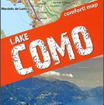 Lake Como terraQuest Trekking Map
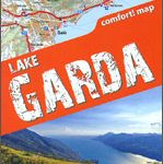 Lake Garda terraQuest Trekking Map
 Rila – Pirin terraQuest Trekking Map
 Fagaras – Bucegi – Piatra Craiului terraQuest Trekking Map
 Karakoram – K2 – Gasherbrum – Broad Peak terraQuest Trekking Map
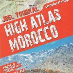 High Atlas – Jbel – Toubkal terraQuest Trekking Map
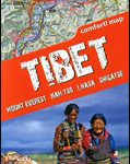 Tibet – Mount Everest – Nam Tso – Lhasa – Shigatse terraQuest Tourist Map
 Prokletije – Durmitor – Albanian and Montenegro Alps terraQuest Trekking Map
Georgian Caucasus – Mt Ushba – Shkhara – Kazbek terraQuest Trekking Map
Prokletije – Durmitor – Albanian and Montenegro Alps terraQuest Trekking Map
Georgian Caucasus – Mt Ushba – Shkhara – Kazbek terraQuest Trekking Map
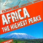 Africa`s Highest Peaks – Kilimanjaro – Mount Kenya – Rwenzori terraQuest Trekking Map
 The Kimberley (WA) Moon Adventure Publications Travel & Adventure Guide
 Tian Shan – Khan Tengri – Pobeda Peak – Lenin Peak terraQuest Trekking Map
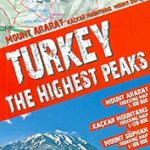 Turkey`s Highest Peaks – Mount Ararat – Kackar Mountains – Mount Suphan terraQuest Trekking Map
 Iceland F&B
 High Adventure: The adventure doesn`t end when you become a dad
Iceland Survey 81
Iceland Survey 91
High Adventure: The adventure doesn`t end when you become a dad
Iceland Survey 81
Iceland Survey 91
 Iceland Michelin
 Iceland IGN 85111
 Iceland Touring Map
 Iceland Wall Map
 Iceland Birdwatchers` Map
 Iceland Manuscript Map
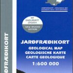 Iceland Geological Map