Disclosure : This site contains affiliate links to products. We may receive a commission for purchases made through these links.
Iceland North West
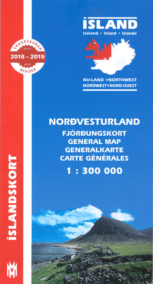
North-West Iceland at 1:300,000 in a series from Mรกl og menning covering the country on five road maps with fine presentation of the topography, road network indicating gravel roads, plus on the reverse photos and descriptions of main sights.Maps in Mรกl og menning ‘s 300K series have contours at 100m intervals, enhanced by very effective relief shading and altitude colouring, plus plenty of spot heights and names of mountain ranges, peaks, glaciers, etc. Road information distinguishes between hard surface and gravel roads, includes local tracks and indicates river fords. Symbols show locations of campsites, swimming pools, thermal and hydro-electric power stations, local airfields, etc. The maps have a grid with latitude and longitude at 15` and 30` intervals respectively; the map covering the Central Highlands also has GPS waypoints for important road junctions and other sites. Map legend includes English. On the reverse of the maps there are photographs of main natural sights in the region with multilingual descriptions which include English; maps 1 to 4 also have a comprehensive distance table for the whole country; map no. 5 has instead a list of the local GPS waypoints.

Related Products:
 Iceland South West
 Iceland North East
Iceland South East
Iceland North East
Iceland South East
 Iceland Central Highlands
Iceland: Mรกl og Menning 300K Road Maps
Iceland Central Highlands
Iceland: Mรกl og Menning 300K Road Maps
 Iceland South-West: Reykjavik ‘“ Eyjafjallajรถkull
 Iceland: Mรกl og Menning 200K Road Maps
 Iceland West: Akranes – Eirรญksjรถkull Glacier
 Iceland North: Hvammstangi – Mรฝvatn Lake
 Iceland North East: Hรบsavik – Lake Mรฝvatn – Bakkagerรฐi
 Iceland: Mรกl og Menning Touring and Hiking Maps
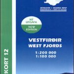
 Iceland Western Fjords
 Iceland Mal og menning Tourist Map
 Iceland East: Vatnajรถkull – Egilsstaรฐir
 Iceland South East: Southern Vatnajรถkull
 Iceland Cental: Langjรถkull – Hofsjรถkull – Vatnajรถkull
 Iceland North-West IDNU 1
 Iceland Wall Map
 Iceland: Mรกl og menning`s 100K Topographic Survey Maps
 Iceland Mal og menning Road Atlas 2021-2023
 Western Fjords
 Iceland 1:100,000 Complete Set (31 maps)
 Hornstrandir
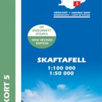 Skaftafell
 Snรฆfellsnes
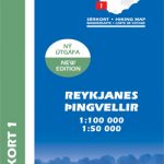 Reykjanes – รingvellir
 Lรณnsรถrรฆfi – Snรฆfell
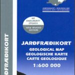 Iceland Geological Map
 Gullfoss – Geysir – Hekla
 Kjรถlur – Langjรถkull – Kerlingrafjรถll
 Akureyri – Mรฝvatn – Dettifoss
Askja – Herdubreid – Kverkfjรถll
Akureyri – Mรฝvatn – Dettifoss
Askja – Herdubreid – Kverkfjรถll
 Italy North West Michelin Regional 561
Iceland South-West IDNU 2
Italy North West Michelin Regional 561
Iceland South-West IDNU 2
 Iceland Touring Map
 Landmannalaugar – รorsmork – Fjallabak – Eyjafjallajokull Volcano
Iceland North-East IDNU 3
Landmannalaugar – รorsmork – Fjallabak – Eyjafjallajokull Volcano
Iceland North-East IDNU 3
 Estonia North-West Regio Map
 Germany North West Michelin Regional 541
 North Macedonia F&B Top 10 Tips