Disclosure : This site contains affiliate links to products. We may receive a commission for purchases made through these links.
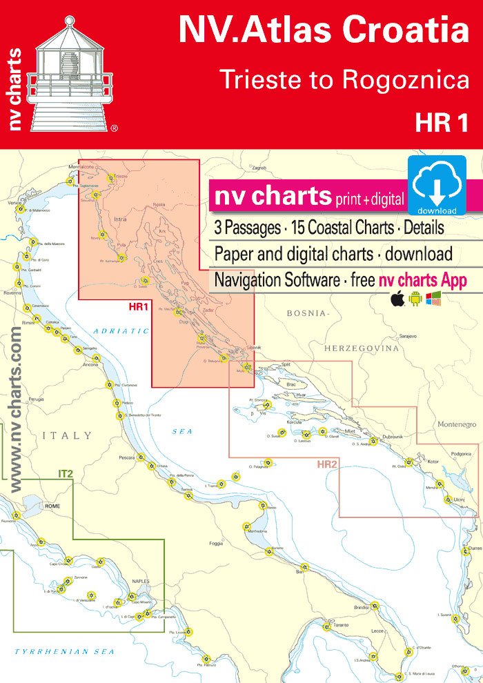
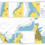
HR1 Trieste to Vodice
NV charts for the Mediterranean are based on official Hydrographic Office data. They include numerous details for harbours and approaches, passages and anchorages of the given area, extra details for rivers and channels, as well as bridge clearances, opening times, notes and warnings for the given waters. Buoys and marks are shown according to the international IHO regulations. The clear structure makes finding harbour details or anchorages a matter of seconds. In this way the mariner gets quick access to all important navigational information. All information is also shown in the nv charts App.

Related Products:
 ES1 Cabo San Antonio to Cabo Creus
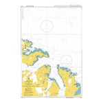
 Chart Atlases for Norway
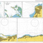
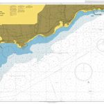
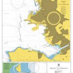 Admiralty Chart 1473 – Trieste and Approaches
 Admiralty Chart 1461 – Gulf of Trieste and Approaches
 Friuli-Venezia Giulia – Venice – Udine – Trieste K+F Regional Map 5
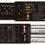
 Reeds Lights, Shapes and Buoyage Handbook
 NP100 The Mariner`s Handbook SUPERCEDED
 NP100 The Mariner`s Handbook – Edition 12, 2020
 International SafetyNET Manual, 2017 Edition
 Weems & Plath Road Rule – IALA Buoyage (292)
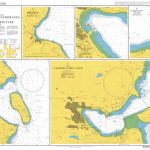
 777 Harbours and Anchorages ed. 2017/18 – Slovenia, Croatia, Montenegro and Albania (Eastern Adriatic)
NP81 Volume H: Northern & Eastern Coasts of Canada 2021
777 Harbours and Anchorages ed. 2017/18 – Slovenia, Croatia, Montenegro and Albania (Eastern Adriatic)
NP81 Volume H: Northern & Eastern Coasts of Canada 2021
 Trieste
 Trieste Global Map Street Plan
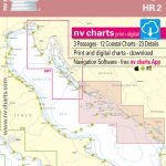 HR2 Vodice to Dubrovnik & Montenegro – 2019 Edition
 Admiralty Chart 2068 – Anchorages in the Maldives
 NP83 Volume K: Indian and Pacific Oceans, South of the Equator 2021
 NP86 List of Lights – Volume N: East Mediterranean & Black Seas 2021
 Admiralty Chart 491 – Harbours and Anchorages in Guadeloupe
 Admiralty Chart 168 – Anchorages on the Coast of Eritrea
 NP86 List of Lights – Volume N: East Mediterranean & Black Seas 2019/20 SUPERCEDED
 Admiralty Chart 502 – Harbours and Anchorages in Barbados
 Admiralty Chart 675 – Harbours and Anchorages on the Coast of Sudan
 Leeward Island Anchorages
 Admiralty Chart 1629 – Ports and Anchorages on the Coast of Venezuela
 Admiralty Chart 1961 – Ports and Anchorages in Golfo de Fonseca
 Admiralty Chart 2543 – Anchorages in West Falkland Island
 Admiralty Chart 1581 – Islands and Anchorages in Southern Vanuatu
 Admiralty Chart 258 – Ports and Anchorages on the South Coast of Jamaica
 Admiralty Chart 724 – Anchorages in the Seychelles Group and Outlying Islands
 Admiralty Chart 3545 – Anchorages in Luzon and the Babuyan Islands
 Admiralty Chart 2533 – Anchorages on the West Coast of Skye
 Admiralty Chart 1864 – Harbours and Anchorages in Arran and Kintyre
 Admiralty Chart 3587 – Harbours and Anchorages in South Georgia
 86 Faroe Islands, Harbours and Anchorages, Southern Part
 Admiralty Chart 1322 – Ports and Anchorages in Central West Africa
 Admiralty Chart 1195 – Anchorages in the Southern Approaches to Istanbul Bogazi
 Admiralty Chart 2020 – Harbours and Anchorages in the British Virgin Islands
 NP282 (1) Admiralty List of Radio Signals Vol 2 Europe, Africa and Asia 2021
 Admiralty Chart 2022 – Harbours and Anchorages in the East Solent Area