Disclosure : This site contains affiliate links to products. We may receive a commission for purchases made through these links.
Hong Kong Nelles
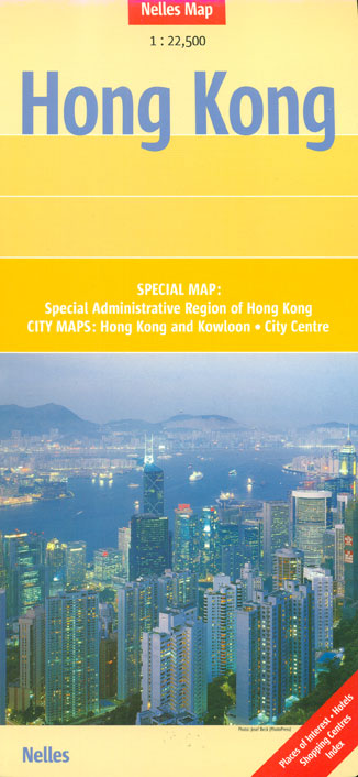
Hong Kong on a map from Nelles with a detailed street plan of the city centre at 1:15,000, coverage of Hong Kong with Kowloon plus Tsuen Wan at 1:22,5000 with an extensive index of streets and various facilities, and the whole of the Special Administrative Region at 1:125,000. All place names are in the Latin alphabet only.On one side a map at 1:22,500 covers Hong Kong with Kowloon, highlighting main traffic arteries and showing one way streets, MTR stations, various places of interest, etc. An inset extends the coverage to include the Tsuen Wan area.The map is accompanied by an extensive index which also covers the more detailed city centre street plan shown on the reverse, and lists streets, housing and industrial estates, shopping centres, hotels, consulates, cultural institutions, etc.On the reverse is the more detailed street plan of central Hong Kong and Kowloon at 1:15,000, plus a map at 1:125,000 covering the whole of the Hong Kong Special Administrative Region including access to the Shenzhen Special Economic Zone. The map shows road, rail and ferry connections and highlights various places of interest.

Related Products:
 Hong Kong & Macau Periplus Travel Map
 Hong Kong & Region ITMB
 Hong Kong Marco Polo City Map
 Hong Kong PopOut
 Hong Kong – Macau Guide Map
 DK Eyewitness Top 10 Hong Kong
 Hong Kong
 Hong Kong Lonely Planet City Map
 A Naturalist`s Guide to the Birds of the Hong Kong (2nd ed)
 Insight Guides Explore Hong Kong – The Best Routes Around the City
 Enchanting Hong Kong (2nd edition)
 Threesixfive Hong Kong
 Hong Kong Local: Cult recipes from the streets that make the city
 Insight Guides Experience Hong Kong
 Fodor`s Hong Kong 25 Best
 Live & Work In Hong Kong
 Lonely Planet Pocket Hong Kong
 City on Fire: The Fight for Hong Kong
 Hong Kong Flexi Map
 Hong Kong Precincts: A Curated Guide to the City`s Best Shops, Eateries, Bars and Other Hangouts
 Hong Kong Crumpled City Map
 Trope Hong Kong
 Gweilo: Memories Of A Hong Kong Childhood
 Pocket Rough Guide Hong Kong & Macau
 Hong Kong Marco Polo Pocket Guide
 Once Upon a Hong Kong (Bilingual edition)
 The Monocle Travel Guide to Hong Kong (Updated Version)
 111 Places in Hong Kong That You Shouldn`t Miss
 China South ITMB
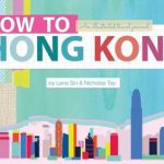 How to Hong Kong: An Illustrated Travel Journal
 Berlitz Pocket Guide Hong Kong
 Insight Guides Pocket Hong Kong
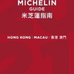 Hong Kong – Macau MICHELIN Guide 2021
 Lonely Planet Hong Kong
 Shop Cats of Hong Kong
 Hong Kong 20/20: Reflections on a Borrowed Place
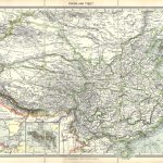 China & Tibet with Hong Kong Inset c.1900
 Hong Kong Convention, 2013 English Edition
 Hong Kong Convention, 2013 Arabic Edition
 Hong-Kong – A Walking Tour