Disclosure : This site contains affiliate links to products. We may receive a commission for purchases made through these links.
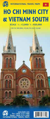
Ho Chi Minh City / Saigon & Vietnam South ITMB

Double-sided map, combining a map of Vietnam South with a street plan of Ho Chi Minh City. The map of the region at 1:920,000 shows the road and rail networks, indicating local airports and airfields, national parks and scenic areas, places of interest and beaches. Topography is shown by altitude colouring with spot heights. The map has an index of localities and latitude/longitude lines at 30’ intervals. Includes inset maps of Hoi An (1:10,000), Da Nang (1:18,500) and Can Tho City (1:19,500) city centres and Phu Quoc Island (1:232,000) On the reverse is an indexed street plan of Ho Chi Minh City at 1:13,000, highlighting places of interest, railway and metro stations, bus and ferry terminals, selected accommodation, etc.


