Disclosure : This site contains affiliate links to products. We may receive a commission for purchases made through these links.
Historic Counties Maps Collection
Related Products:
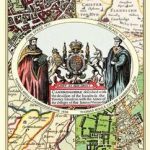 A Collection of Four Historic Maps of Cambridgeshire from 1611-1836
 High Point: A Guide to Walking the Summits of Great Britain`s 85 Historic Counties
 Historic Admiralty Collection Charts
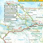 Ireland: Exploreit Maps of Irish Counties
 Historic City & Town Maps
 Poland: Reise-Know-How Touring Maps with Historic Place Names
 Vintage Maps Collection
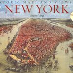 Historic Maps and Views of New York
 Historic Maps and Views of Paris
 George Bradshaw Railway Maps Collection
 The Munros – The Complete Collection of Maps
 Historic England: Brighton & Hove: Unique Images from the Archives of Historic England
 Historic England: London`s East End: Unique Images from the Archives of Historic England
 Historic England: City of London: Unique Images from the Archives of Historic England
 Historic England: Central London: Unique Images from the Archives of Historic England
 Historic England: Dorset: Unique Images from the Archives of Historic England
 Historic England: Cambridge: Unique Images from the Archives of Historic England
 Pocket Guide to Wine Country: Napa – Sonoma – Lake – Mendocino Counties
 Astronomy Photographer of the Year: Collection 2: Collection 2
 Astronomy Photographer of the Year: Collection 3: Collection 3
 Astronomy Photographer of the Year: Collection 4: Collection 4
 Counties of the UK – Mouse Mat
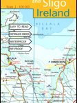 Mayo and Sligo Xploreit Counties Map
 The Home Counties from London by Train
 English Castles – A Guide by Counties
 Four Counties Ring Pearson`s Canal Companion
 Four Counties Ring & Caldon Canal Heron Map
 Engel`s England: Thirty-Nine Counties, One Capital and One Man
 The Home Counties & the East of England c.1900
 Four Counties & the Welsh Canals Collins Nicholson Waterways Guide 4
 South Africa: Slingsby Maps Hiking Maps of the Cape Peninsula
 South Africa: Slingsby Maps Tourist Maps of the Cape Provinces
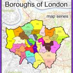 Stanfords Maps of London Boroughs (PRINT ON DEMAND/FLAT MAPS)
 Nepal: Nepa Maps (Himalayan MapHouse) Rafting & Kayaking Maps
 Old Folding Maps Reproductions of Letts 1884 English County Maps
 North America: Maps International Political Wall Maps
 South America: Maps International Political Wall Maps
 Stanfords Tube Maps (PRINT ON DEMAND/FLAT MAPS)
 World: Maps International Physical Wall Maps
 Asia: Maps International Political Wall Maps


