Disclosure : This site contains affiliate links to products. We may receive a commission for purchases made through these links.
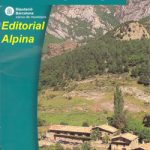
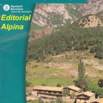
Hiking Alt Camp Editorial Piolet

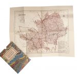
Alt Camp area north of Tarragona, around Vals and Montblanc, on a contoured and GPS compatible map at 1:40,000 from Editorial Piolet. Topography is presented by contours at 10m intervals with plenty of additional spot heights. An overprint highlights waymarked local and long distance routes and symbols show various facilities and places of interest including different types of accommodation (hotels, campsites, refuges, etc), tourist information offices, wildlife observation points, local railway stations, petrol stations, etc. The map has a 5-km UTM grid; map legend includes English. On the reverse are multilingual notes about the area.To see the list of titles in this series please click on the series link.


