Disclosure : This site contains affiliate links to products. We may receive a commission for purchases made through these links.
High Country Victoria – South East Hema Explorer Map
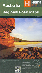
Part of a series of 4 waterproof maps of the Victorian High Country by Hema at 1:100,000.
Related Products:
 High Country Victoria – North East Hema Explorer Map
 High Country Victoria – South West Hema Explorer Map
 High Country Victoria Hema Explorer 4 Map Pack
 High Country Victoria – North West Hema Explorer Map
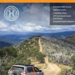 Victoria High Country
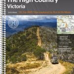 Victoria – The High Country Atlas & Guide A4 SPIRAL-BOUND
 North East New South Wales – Coffs Harbour to Brisbane Hema Explorer Map
 South East Queensland – featuring Landcruiser Mountain Park Hema Explorer Map
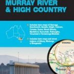 Albury – Wodonga – Murray River – Victoria`s High Country UBD Gregory`s 381
 South East Queensland Hema
 Outback New South Wales – from Broken Hill to Tamworth Hema Explorer Map
 Victoria Hema
 Yosemite High Country
 Chiltern Hills East – High Wycombe, Maidenhead & Rickmansworth OS Explorer Active Map 172 (waterproof)
 Chiltern Hills East – High Wycombe, Maidenhead & Rickmansworth OS Explorer Map 172 (paper)
 Mount Rogers High Country VA
 Angeles High Country
 North East New South Wales Hema
 Mono Divide High Country
 Central Australia Hema 4WD Explorer Map
 Mount Whitney High Country
 North Queensland – from Cape York to Mackay Hema Explorer Map
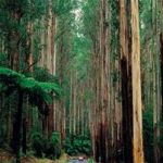 Victoria Hema Handy Map
 Nullarbor Plain Western Sheet – Kalgoorlie to Border Village Hema Explorer Map
 South East Lewis – Loch Eireasort & Shiant Islands OS Explorer Active Map 457 (waterproof)
 Orkney: East Mainland – South Ronaldsay, Shapinsay & Kirkwall OS Explorer Active Map 461 (waterproof)
 New South Wales Hema
 South East Lewis – Loch Eireasort & Shiant Islands OS Explorer Map 457 (paper)
 Orkney: East Mainland – South Ronaldsay, Shapinsay & Kirkwall OS Explorer Map 461 (paper)
 Flinders Ranges Hema Atlas & Guide PAPERBACK
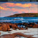 South West Corner – Margaret River & Southern Forest Hema
 Outback Queensland – Camooweal to Stanthorpe Hema Explorer Map
 South Australia Hema
 Top End and Gulf Hema Waterproof Map
 High Weald – Royal Tunbridge Wells, Cranbrook, Hawkhurst & Bewl Water OS Explorer Active Map 136 (waterproof)
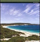 South West Western Australia Hema
 South Island – New Zealand Hema
 High Weald – Royal Tunbridge Wells, Cranbrook, Hawkhurst & Bewl Water OS Explorer Map 136 (paper)
 Cape York – Old Telegraph Track Hema
 Flinders Ranges SA Hema


