Disclosure : This site contains affiliate links to products. We may receive a commission for purchases made through these links.
Hermannsweg und Eggeweg – die Hermannshohen Kompass Long-distance Trail Map 2504

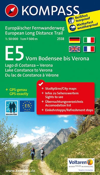
Hermannsweg plus Eggeweg, a combined 218km long-distance hiking trail in north-western Germany between Rheine and Marsberg along the Teutoburger Wald and hills of the Eggegebirge. The route is presented on 18 panels, accompanied by street plans of Rheine, Bielefeld, Horn-Bad Mainberg and Marsberg.Maps in this new series from Kompass, begun in summer 2014, are at 1:50,000, contoured and GPS compatible, and printed on sturdy but light waterproof and tear-resistant synthetic paper. Each route is prominently highlighted on a series of 17.5 x 20cm panels and annotated with 5km markers. Topography is shown by contours (intervals at 20m or 40m) enhanced by relief shading with colouring and/or graphics for woodlands, orchards, vineyards, etc. Symbols indicate various accommodation options (hotels, campsites, youth hostels), sport facilities, and various places of interest. The maps also show locations of car parks near the route and railway lines are shown with stations. The maps have a 2km UTM grid. Each title includes street plans of local towns, a route profile, details of recommended accommodation indicating price range, plus descriptions of main places of interest. Map legend and all the text are in German only.To see other titles in this series please click on the series link.


