Disclosure : This site contains affiliate links to products. We may receive a commission for purchases made through these links.
Hebron Tourist Map
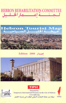
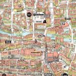
Hebron street plan from the Palestine Mapping Center showing on one side the city at 1:12,000 with names of neighbourhoods, main traffic arteries and selected streets. Symbols indicate locations of various facilities, organizations, offices, etc., including TIPH (Temporary International Presence in Hebron), Mรฉdecins Sans Frontiรจres, governmental offices, educational establishments, banks, medical facilities, hotels, etc. On the reverse an enlargements shows the Old City in greater detail. Both plans clearly indicate the surrounding Israeli settlements and outposts within the Old City. The street index covers both plans and also lists for the Old City neighbourhoods, settlements, mosques, etc. Also provided are lists of useful phone numbers and brief notes about the city and the work of the Hebron Rehabilitation Committee.Place and organization names, map legend and all the text are in Arabic and English.


