Disclosure : This site contains affiliate links to products. We may receive a commission for purchases made through these links.
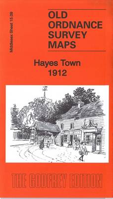
Hayes Town 1912

Related Products:
 Hayes 1907
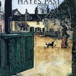 Hayes Past
 The Heeding – illustrated by Nick Hayes
 Tiny Town Let`s Go To The Shops: Tiny Town Build A Scene
 Bromley Common and North-East Hayes 1895
 Tiny Town Let`s Go Outside: Tiny Town Build A Scene
 Camden Town & Kentish Town
 Camden Town & Kentish Town Then & Now
 Isleworth 1912
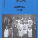 Warmley 1912 – 72.16
 Bristol (NE) 1912 – 72.13b
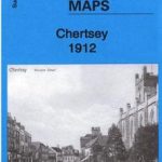 Chertsey 1912 – 11.06
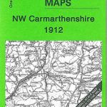 NW Carmarthenshire 1912 – 211
 Leith Walk 1912 – 3.04b
 Harrow on the Hill 1912 – 10.11a
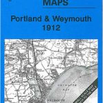 Portland & Weymouth 1912 – 341/342
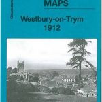 Westbury-on-Trym 1912 – 71.08
 Stockport – Altrincham & NE Cheshire 1912 – 98
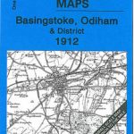 Basingstoke – Odiham & District 1912 – 284
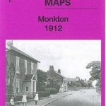 Monkton 1912: Tyneside Sheet 20
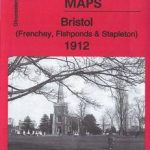 Bristol (Frenchay, Fishponds & Stapleton) 1912 – 72.06
 Hike Cape Town: Top Day Trails in Cape Town and the Cape Peninsula
 Jarrow 1912
 Gospel Oak 1912 – 28.2
 Brentford 1912 – 83.3
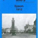 Epsom 1912
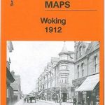 Woking 1912 – 17.09
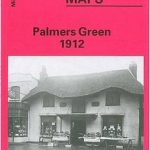 Palmers Green 1912 – 7.14a
 Wood Green 1912 – 7.3
Coventry (North) 1912 – 21.08
Coventry (South) 1912 – 21.16
Bristol and District 1912
Wood Green 1912 – 7.3
Coventry (North) 1912 – 21.08
Coventry (South) 1912 – 21.16
Bristol and District 1912
 My Town
St Anthonys and Bill Quay 1912
Welshpool and District 1904-1912
Melton Mowbray & District 1912 – 142
My Town
St Anthonys and Bill Quay 1912
Welshpool and District 1904-1912
Melton Mowbray & District 1912 – 142
 Cricklewood and Child`s Hill 1912
Surbiton & Long Ditton 1912 – 12.08
Cricklewood and Child`s Hill 1912
Surbiton & Long Ditton 1912 – 12.08
 The Scramble for Africa 1876-1912
 The History of a Town