Disclosure : This site contains affiliate links to products. We may receive a commission for purchases made through these links.
Hawaii – The Big Island Nelles
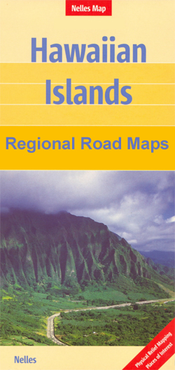
Hawaii or The Big Island at 1:330,000 on a waterproof and tear-resistant map from Nelles, with several street plans and enlargements of its most visited areas. Bold relief shading with peak names and spot heights shows the topography and map is also annotated with dates of various lava flows. Road network indicates partly surfaced roads and local tracks. Also shown are the island’s administrative divisions.Numerous places of interest are highlighted on the map, as well as on the accompanying enlargements and street plans covering: the Hawaii Volcanoes National Park and the Kapa’au area, both at 1:125,000, plus street plans of Hilo, Waimea (Kamuela), Honoka’a Kailua-Kona, Keauhou and the Captain Cook area at 1:35,000. The main map and the enlargements have no indexes, but all the street plans are indexed, including lists of hotels and places of interest.To see other titles in this series please click on the series link.

Related Products:
 Hawaii – Kauai Nelles
 Hawaii – Maui – Molokai – Lanai Nelles
 Hawaii – Oahu – Honolulu Nelles
 Hawaii Easy-to-Read Rand McNally
 Lonely Planet Hawaii the Big Island
 DK Eyewitness Travel Guide Hawaii
 Hawai`i Phears Travel Map
 Kenya – Serengeti Nelles
 Bali – Lombok Nelles
 Hawaii & Honolulu ITMB
 New Zealand Nelles
USA: Nelles Maps of the Hawaiian Islands
New Zealand Nelles
USA: Nelles Maps of the Hawaiian Islands
 Hawaii NGS Adventure Map 3111
 Java – Jakarta Nelles
 South Africa – Namibia – Botswana – Zimbabwe Nelles
 Hawaii NGS Wall Map PAPER
 Chile – Patagonia Nelles
 Thailand Nelles
 Malaysia West – Singapore Nelles
Taiwan Nelles
Malaysia West – Singapore Nelles
Taiwan Nelles
 Mexico Nelles
 Nova Scotia & Prince Edward Island ITMB
 India North Nelles
 Lonely Planet Best of Hawaii
 China North East Nelles Map
 India East Nelles
 South America – The Andes Nelles
 Tunisia Nelles Map
 Central America Nelles
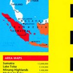 Sumatra – Medan Periplus Travel Map
 Hawaii Reise Know-How
 Frommer`s Hawaii 2020
 India South Nelles
 Vancouver Island MapArt Street Atlas
 India Northeast – Bangladesh Nelles
 Namibia – Botswana Nelles
 Sulawesi – Nusa Tenggara – East Timor Nelles