Disclosure : This site contains affiliate links to products. We may receive a commission for purchases made through these links.
Hawaii Reise Know-How
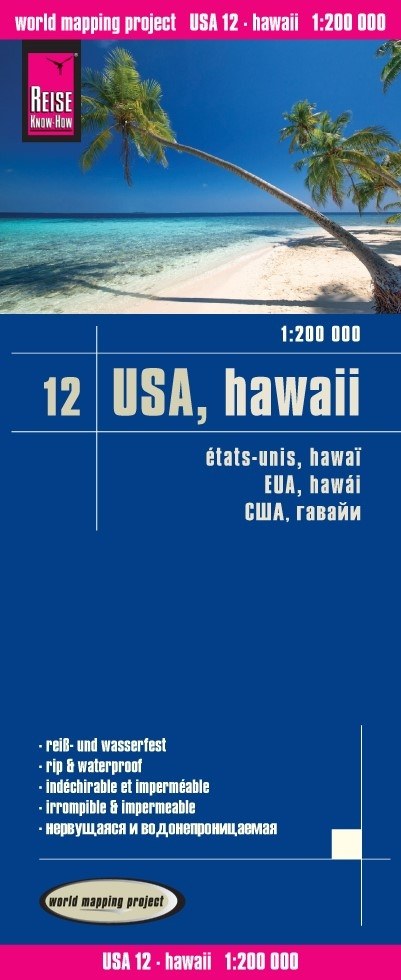
Hawaii at 1:200,000 in a series of waterproof and tear-resistant, indexed regional maps of USA from Reise-Know-How’s highly acclaimed World Mapping Project, combining detailed presentation of the road network with topographic and tourist information. Each island is presented separately, with a small inset showing the whole group. Road network indicates tracks recommended for 4WD vehicles. The maps have both a latitude/longitude grid at 15` intervals and a UTM grid.Maps in the Reise-Know-How series covering the US have altitude colouring with spot heights shows each region’s topography, with national parks and other protected areas, as well as American Indian Reservations and restricted entry zones clearly marked. Road network indicates toll roads and scenic routes. Railways and, where appropriate, ferry routes are marked. The maps show both names and boundaries of local counties. Symbols highlight a variety of places of interest, including historical sites, amusement parks, natural features, golf courses and wintersport areas, etc. Each map is double-sided, includes an index of localities, and has a latitude and longitude grid. Map legend includes English.To see other titles in this series please click on the series link.

Related Products:
 Alaska Reise Know-How
 Florida Reise Know-How
 USA Northwest – OR, WA Reise Know-How
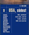 USA Southeast Reise Know-How
 USA: Reise Know-How Regional Touring Maps
 New England Reise Know-How
 USA Midwest – IL, IN, IA, MI, MN, MO, WI Reise Know-How
 USA South-Central: Kansas – Oklahoma – Texas Reise-Know-How Map
 California Reise Know-How
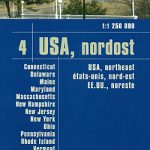 USA North-Eastern: Maine to WashingtoN DC (CT, DE, ME, MD, MA, NH, NJ, NY, OH, PA, RI, VT, WV) Reise-Know-How Map
 USA North – ID, MT, NE, ND, SD, WY Reise Know-How
 USA Southwest Reise Know-How
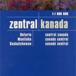 Canada Central: Western Ontario, Manitoba, Saskatchewan Reise-Know-How Map
 Poland Southeast Reise Know-How
 Poland: Reise-Know-How Touring Maps with Historic Place Names
 Azerbaijan Reise Know-How
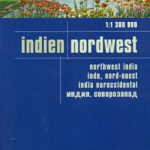 India Northwest Reise Know-How
 Latvia Reise-Know-How
 India Northeast Reise Know-How
 Poland Southwest Reise Know-How
 Albania Reise Know-How
 India South Reise Know-How
 Mallorca South Reise Know-How
 Mallorca North Reise Know-How
 Mallorca West Reise Know-How
 Ukraine Reise Know-How
 Pakistan Reise Know-How
 Sri Lanka Reise Know-How
 Laos Reise Know-How
 Senegal – Gambia Reise Know-How
 Iran Reise Know-How
 Jamaica Reise Know-How
 Norway South Reise Know-How
 New Zealand Reise Know-How
 Mexico Reise Know-How
 Guatemala – Belize Reise Know-How
 Iceland Reise Know-How
 Baltic States Reise Know-How
 Mallorca East Reise Know-How