Disclosure : This site contains affiliate links to products. We may receive a commission for purchases made through these links.
Hawaii – Maui – Molokai – Lanai Nelles
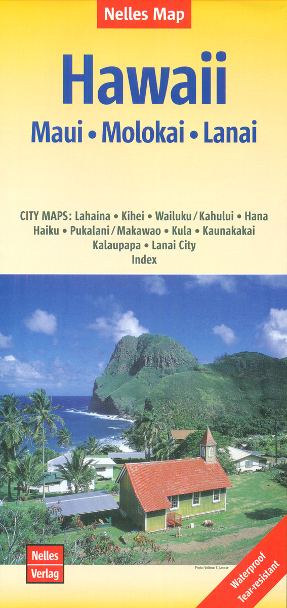
Hawaiian islands of Maui, Molokai and Lanai at 1:150,000 on a waterproof and tear-resistant map from Nelles, with 10 additional insets providing street plans and enlargements of the islands’ towns and other popular areas, all annotated with places of interest.On one side are: Molokai (The Friendly Island) with Lanai (The Private Island), accompanied by insets providing a street plan of Lanai City, plus enlargements of two areas on Molokai: Kalaupapa town and peninsula, plus Kaunakakai and its environs. On the reverse is Maui (The Valley Island) with Kaho’olawe. Six street plans and enlargements provided for it cover: Wailuku – Kahului, Pukalani – Makawao, Haiku, Kula and Hana, plus large spans of the western coastal areas of Lahaina – Kaanapali – Kapalua and Kihei – Maui Meadows ‘“ Keawalai. The maps of the islands clearly indicate which areas are covered by the insets.The maps of the islands provide a good presentation of their volcanic structure, with vivid relief shading, plenty of spot heights and peak names. Hydrographic information shows numerous streams along the valleys and gulches, as well as tunnels. National parks and other protected areas are highlighted. Road network includes 4WD tracks and gives driving distances on main routes. Paths and trails are also marked. Latitude and longitude are shown as margin ticks at 10’ intervals. Both the island maps and the accompanying street plans or enlargements highlight numerous places of interest, including campsites, natural features, beaches, golf course, plus on street plans hotels and other accommodation. Only the street plans and the enlargements are indexed; the main maps have no indexes.To see other titles in this series please click on the series link.

Related Products:
 Fodor`s Maui: with Molokai & Lanai
 Moon Maui (Eleventh Edition): With Molokai & Lanai
 USA: Nelles Maps of the Hawaiian Islands
Hawaii – The Big Island Nelles
USA: Nelles Maps of the Hawaiian Islands
Hawaii – The Big Island Nelles
 Hawaii & Honolulu ITMB
 Maui – Kaui & Molokai ITMB
 Maui – Moloka`i – Lana`i Phears Travel Map
Hawaii – Kauai Nelles
Maui – Moloka`i – Lana`i Phears Travel Map
Hawaii – Kauai Nelles
 Hawaii Easy-to-Read Rand McNally
 Hawaii – Oahu – Honolulu Nelles
 Hawaii NGS Adventure Map 3111
 Hawaiian Islands Borch
 Bali – Lombok Nelles
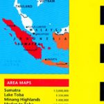
 Indonesia: Nelles Regional Maps
 Mexico Nelles
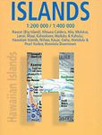
 Hawaiian Islands
 Kenya – Serengeti Nelles
 Sumatra – Medan Periplus Travel Map
 Central America Nelles
 Java – Jakarta Nelles
 New Zealand Nelles
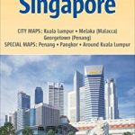 Malaysia West – Singapore Nelles
 India South Nelles
Taiwan Nelles
India South Nelles
Taiwan Nelles
 Papua & Maluku Islands Nelles
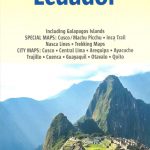 Peru – Ecuador Nelles
 Caribbean – Lesser Antilles Nelles
 Philippines – Manila Nelles
 Tunisia Nelles Map
 South America – The Andes Nelles
 India East Nelles
 Cuba Nelles
 Lonely Planet Maui
Sulawesi – Nusa Tenggara – East Timor Nelles
Lonely Planet Maui
Sulawesi – Nusa Tenggara – East Timor Nelles
 Namibia – Botswana Nelles
 South Pacific Islands Nelles
 Malaysia – Brunei Nelles
Amazon – Brazil Nelles
Malaysia – Brunei Nelles
Amazon – Brazil Nelles
 India North Nelles
 Aruba Borch