Disclosure : This site contains affiliate links to products. We may receive a commission for purchases made through these links.
Hawaii – Kauai Nelles
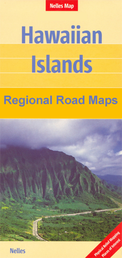
Hawaiian islands of Kauai with Niihau at 1:150,000 from Nelles, plus seven additional panels proving street plans of main towns with their indexes also listing places of interest, selected accommodation, etc. The two islands, presented on separate panels, have bold relief shading to show their topography, plus spot heights and names of peaks, ridges, etc. Protected areas are highlighted. Road network indicates partly surfaced roads and local tracks. Also shown are the island’s administrative divisions. The maps have no geographical coordinates.Numerous places of interest are highlighted on the map of Kauai, as well as on the accompanying street plans of Hanalei – Princeville, Kalaheo, Kapa’a – Wailua, Koloa – Po’ipu, Lihu’e, Kekaha – Waimea, and Hanapepe, all at 1:35,000. Only the street plans are indexed, including lists of hotels and places of interest.To see other titles in this series please click on the series link.

Related Products:
 Kaua`i Phears Travel Map
 Hawaii – The Big Island Nelles
 Hawaii – Maui – Molokai – Lanai Nelles
 Hawaii – Oahu – Honolulu Nelles
 Hawaii & Honolulu ITMB
USA: Nelles Maps of the Hawaiian Islands
Hawaii & Honolulu ITMB
USA: Nelles Maps of the Hawaiian Islands
 Hawaii NGS Adventure Map 3111
 Hawaii Easy-to-Read Rand McNally
 Bali – Lombok Nelles
 Lonely Planet Kauai
 Taiwan Nelles
 Papua & Maluku Islands Nelles
 India South Nelles
 South Pacific Islands Nelles
 Sulawesi – Nusa Tenggara – East Timor Nelles
Indonesia: Nelles Regional Maps
Kenya – Serengeti Nelles
Sulawesi – Nusa Tenggara – East Timor Nelles
Indonesia: Nelles Regional Maps
Kenya – Serengeti Nelles
 Java – Jakarta Nelles
 India North Nelles
 Cape Verde AB Kartenverlag Road and Leisure Map
 Mexico Nelles
 New Zealand Nelles
 Hawaiian Islands Borch
 Okinawa & the Ryukyu Islands Periplus Travel Map
 Cayman Islands & Jamaica ITMB
 Thailand Nelles
 Sumatra – Medan Periplus Travel Map
 Tunisia Nelles Map
 Malaysia West – Singapore Nelles
 Indonesia: Periplus Regional Maps
 Philippines – Manila Nelles
 India East Nelles
 Cuba Nelles
 Vietnam – Laos – Cambodia Nelles
 Colombia – Ecuador Nelles
 Borneo – Malaysia East – Brunei – Kalimantan Nelles
 Central America Nelles
 India Northeast – Bangladesh Nelles