Disclosure : This site contains affiliate links to products. We may receive a commission for purchases made through these links.
Havana & Cuba Central ITMB
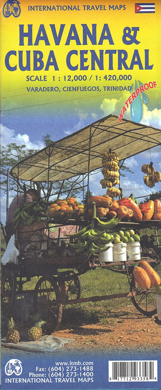
An indexed street plan of the Havana at a scale of 1:12,000 showing the UNESCO site Old Town and the surrounding districts, which also features an indexed overview map of Central Cuba at a scale of 1:420,000. The Havana street plan portrays the cityโ€s road and rail network, as well as petrol stations. Some places of accommodation and of visitor interest are shown, particularly in the Old Town and central Havana. A comparably large number of football stadia/fields are dominantly indicated. The map shows the regional road network from expressways main roads to secondary roads and tracks, as well as en-route petrol stations. Rail lines, ferry routes, harbours and airports are located. Also shown is a handful of visitor related sites and beach and water sport sites, as well as reefs and swamps. Some spot heights are given, with colour shading indicating land height.


