Disclosure : This site contains affiliate links to products. We may receive a commission for purchases made through these links.
Harz Regional Park: western part
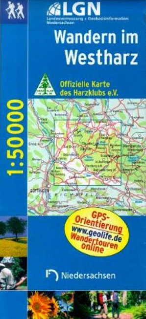
One of the titles in a series of detailed maps of selected areas of Lower Saxony, with cartography of the German topographic survey. Overprint highlights numerous hiking paths, including those suitable for wheelchairs, and cycling routes, indicating their waymarking. Road network is also annotated with symbols showing various sightseeing routes.An extensive range of symbols mark different types of accommodation, sport and leisure facilities, and numerous places of interest. All the maps have a UTM grid. Map legends are in German only. Some titles come with a separate booklet, in German, providing more information on the area, including opening hours, contact details, etc.

Related Products:
 Steinhuder Meer Regional Park
Germany: Lower Saxony 50/40K Topographic Survey Leisure Maps
Steinhuder Meer Regional Park
Germany: Lower Saxony 50/40K Topographic Survey Leisure Maps
 Bavarian Forest Regional Park: western part
 Upper Bavarian Forest Regional Park: western part – Regensburg East
Franconian Forest Regional Park UK50-04
Upper Bavarian Forest Regional Park: western part – Regensburg East
Franconian Forest Regional Park UK50-04
 Fichtelgebirge Regional Park West
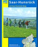 Saar-Hunsrรผck Nature Park East
 Altmรผhl Valley Regional Park: central part
 Mazowiecki Regional Park
 Oberpfรคlzer Wald Regional Park: eastern part
 Franconian Switzerland Regional Park – Veldensteiner Forst North
 Franconian Switzerland Regional Park – Veldensteiner Forst South
 Harz 2-Map Set Kompass 450
 Western Thuringian Forest Nature Park Kompass 812
 Upper Danube Regional Park: Albstadt – Tuttlingen – Sigmaringen
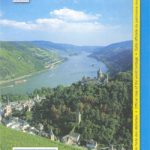
 Germany: Rhineland-Palatinate 50K Topographic Survey Recreational Maps
 Harz Cycling Map
 Germany: Hesse 50K Topographic Survey Leisure Maps
 Anyksciai Regional Park Tourist Map
 Harz – Leinetal Cycling Map 12
 Weser – Harz – Heide Cycle Route: Hann. Mรผnden – Lรผneburg (416km) Bikeline Map/Guide
Bavarian Forest National Park – Nature Park East UK50-29
Weser – Harz – Heide Cycle Route: Hann. Mรผnden – Lรผneburg (416km) Bikeline Map/Guide
Bavarian Forest National Park – Nature Park East UK50-29
 Heilbronn
 Gรถppingen
Pforzheim
Offenburg
Freudenstadt
Lรถrrach
Singer
Crailsheim
Bad Urach
Sigmaringen
Bad Saulgau
Bad Mergentheim F515
Tรผbingen – Reutlingen
Gรถppingen
Pforzheim
Offenburg
Freudenstadt
Lรถrrach
Singer
Crailsheim
Bad Urach
Sigmaringen
Bad Saulgau
Bad Mergentheim F515
Tรผbingen – Reutlingen
 Baden-Baden
Titisee-Neustadt
Villingen-Schwenningen
Waldshut-Tiengen
Biberach an der Riss
Baden-Baden
Titisee-Neustadt
Villingen-Schwenningen
Waldshut-Tiengen
Biberach an der Riss