Disclosure : This site contains affiliate links to products. We may receive a commission for purchases made through these links.
Harrogate and District – Not A Guide To
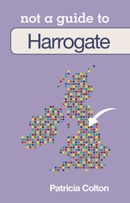
Harrogate

Related Products:
 Harrogate & District 1911 – 62
 Harrogate 1890 – 154.14a Coloured Edition
 Harrogate & Nidderdale
 Harrogate & Ilkley: Ilkley Moor & Washburn Valley
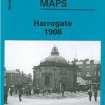 Harrogate 1908
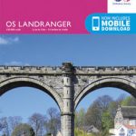 Leeds, Bradford, Harrogate & Ilkley OS Landranger Map 104 (paper)
 Leeds, Bradford, Harrogate & Ilkley OS Landranger Active Map 104 (waterproof)
 Leeds – Harrogate, Wetherby & Pontefract OS Explorer Map 289 (paper)
 Lower Wharfedale & Washburn Valley – Harrogate & Ilkley Moor OS Explorer Map 297 (paper)
 Leeds – Harrogate, Wetherby & Pontefract OS Explorer Active Map 289 (waterproof)
 Lower Wharfedale & Washburn Valley – Harrogate & Ilkley Moor OS Explorer Active Map 297 (wateproof)
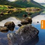
 The Rough Guide to the Lake District (Travel Guide with Free eBook)
 Lake District a Dog Walker`s Guide
 Pocket Rough Guide Staycations Lake District (Travel Guide with Free eBook)
 Derbyshire & the Peak District – a Dog Walker`s Guide
 Derbyshire & the Peak District Mountain Bike Guide
 Official Dublin City & District OSI Street Guide
 Mountain Bike Guide: The Lake District, the Howgills & the Yorkshire Dales
 Photographing the Lake District: A Guide to the Most Beautiful Places & How to Improve Your Photography
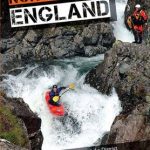 Canoe & Kayak Guide to North West England: Of White Water Lake District
 Madona District – Cesvaine – Ergli – Lubana – Varaklani District Jana Seta Map
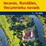 Bauska District – Iecava – Rundale – Vecumnieki District Jana Seta Map
 Limbazi District – Aloja – Krimulda – Salacgriva District Jana Seta Map
 Kraslava District – Aglona – Dagda District Jana Seta Map
 Daugavpils District – Ilukste District Jana Seta Map
 Wild Guide Central England: Adventures in the Peak District, Cotswolds, Midlands, Wye Valley, Welsh Marches and Lincolnshire Coast
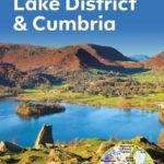 The AA Guide to Lake District and Cumbria
 Guide to Peak District Pub Walks
 Lake District A-Z Visitor`s Atlas & Guide
 Lake District Ridge Walks & Scrambles: Challenging high-level routes in the Lake District
 The Peak District (Slow Travel) Bradt Guide
 Dymond Guide the Lake District Cumbria: What to Do, Where to Stay, What to Buy, Where to Eat and Drink
The Dymond Guide the Lake District Cumbria: What to Do, Where to Stay, What to Buy, Where to Eat and Drink
Dymond Guide the Lake District Cumbria: What to Do, Where to Stay, What to Buy, Where to Eat and Drink
The Dymond Guide the Lake District Cumbria: What to Do, Where to Stay, What to Buy, Where to Eat and Drink
 Lake District Marco Polo Pocket Travel Guide 2019 – with pull out map
 Preili District – Aglona – Livani – Riebini – Varkava District Jana Seta Map
 Tukums District – Engure – Jaunpils – Kandava District Jana Seta Map
 The Cumbria and Lake District Coast: A Guide to Places to Visit, History and Wildlife from Morecambe Bay to the Solway Firth
 Wild Guide Lake District and Yorkshire Dales: Hidden Places and Great Adventures – Including Bowland and South Pennines
 Peak District (Top 10 walks): The finest walks in the Peak District National Park
Saldus district – Broceni District
Peak District (Top 10 walks): The finest walks in the Peak District National Park
Saldus district – Broceni District