Disclosure : This site contains affiliate links to products. We may receive a commission for purchases made through these links.
Harrogate 1908

Harrogate in 1908 in a fascinating series of reproductions of old Ordnance Survey plans in the Alan Godfrey Editions, ideal for anyone interested in the history of their neighbourhood or family. SCoverage stretches from Valley Gardens eastward to Silker Fields and Hurstleigh Terrace, and from Mayfield Terrace southward to Trinity church. Features include the town centre with railway station, Cheltenham Crescent, Parliament Street, The Stray or Two Hundred Acre, Harlow Manor Hydro (bottom left corner), Grand Hotel, Bogs Field, Low Harrogate, White Hart Hotel, Royal Baths, Harrogate Hydro, Cairn Hydro, Ladies College, Kursaal, Hotel Majestic, Crescent Gardens, Victoria Avenue, High Harrogate, Oatlands, Christ Church, Church Square, South Park, etc. Extracts from a contemporary street directory are on the reverse, including Cambridge Street, Cheltenham Road, Montpelier Parade and Station Parade.About the Alan Godfrey Editions of the 25″ OS Series:Selected towns in Great Britain and Ireland are covered by maps showing the extent of urban development in the last decades of the 19th and early 20th century. The plans have been taken from the Ordnance Survey mapping and reprinted at about 15 inches to one mile (1:4,340). On the reverse most maps have historical notes and many also include extracts from contemporary directories. Most maps cover about one mile (1.6kms) north/south, one and a half miles (2.4kms) across; adjoining sheets can be combined to provide wider coverage.FOR MORE INFORMATION AND A COMPLETE LIST OF ALL AVAILABLE TITLES PLEASE CLICK ON THE SERIES LINK.

Related Products:
 Southampton (East) 1908 – 65.11a
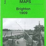 Brighton 1909 – 66.09
 Uckfield 1908
Southsea 1896 – 83.12a
Uckfield 1908
Southsea 1896 – 83.12a
 Great Malvern and West Malvern 1926
 Inverleith & Canonmills 1896 – 3.03
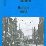 Bolton 1908 – 87.13b
 Hull North East 1908
Criccieth 1913
Knutsford South 1908
Anfield 1908 – 106.07b
Knutsford North 1908
Hull North East 1908
Criccieth 1913
Knutsford South 1908
Anfield 1908 – 106.07b
Knutsford North 1908
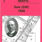 Sale South-West 1908
 Beverley North 1908
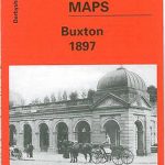 Buxton 1897 – 15.13
 Ramsgate 1905
 Altrincham 1908
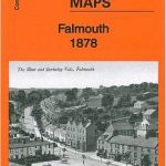 Falmouth 1878
 Northwich North East 1908
 Hull Alexandra Dock 1908
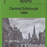 Central Edinburgh 1894 – 3.07
Dumfries North 1899
Bridport 1901
Central Edinburgh 1894 – 3.07
Dumfries North 1899
Bridport 1901
 Ayr 1909 – 33.06
Sherborne 1901
Harton 1895
Redcar and Coatham 1913
Ayr 1909 – 33.06
Sherborne 1901
Harton 1895
Redcar and Coatham 1913
 Rochdale West 1908
West Hartlepool 1914 – 37.11c
Tynemouth 1913
Byker and Heaton 1913
Byker and Heaton 1895
Rochdale West 1908
West Hartlepool 1914 – 37.11c
Tynemouth 1913
Byker and Heaton 1913
Byker and Heaton 1895
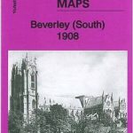 Beverley South 1908
Hull (East) 1908 – 240.03b
Beverley South 1908
Hull (East) 1908 – 240.03b
 Aberystwyth 1904
 Garston 1905 – 113.12b
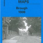 Brough 1908
 N.W. Leeds 1908 – 218.01b
Newhaven & Granton 1904 – 1.15
N.W. Leeds 1908 – 218.01b
Newhaven & Granton 1904 – 1.15