Disclosure : This site contains affiliate links to products. We may receive a commission for purchases made through these links.
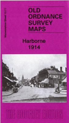
Harborne 1914: Warwickshire Sheet 13.11b
Related Products:
 Edgbaston 1914: Warwickshire Sheet 13.12c
 Bournbrook & Birmingham University 1914: Warwickshire Sheet 13.16b
 Kenilworth 1903: Warwickshire Sheet 26.10
 Ward End 1902: Warwickshire Sheet 14.03
 Stechford 1902: Warwickshire Sheet 14.07
 Moseley 1903: Warwickshire Sheet 14.13a
 Gravelly Hill 1886: Warwickshire Sheet 8.14A
 Gravelly Hill 1913: Warwickshire Sheet 8.14C
 Stratford on Avon 1885: Warwickshire Sheet 44.06
 Birmingham (Saltley) 1913: Warwickshire Sheet 14.02B
 Central Birmingham 1902: Warwickshire Sheet 14.05B
 Aston Manor 1938: Warwickshire Sheet 8.13b
 Birmingham (Saltley) 1886: Warwickshire Sheet 14.02a
 Kings Heath 1937: Warwickshire Sheet 19.01
 Sutton Coldfield 1886: Warwickshire Sheet 4.15a: Coloured Edition
 Tipton 1914: Staffordshire Sheet 67.08b
 Dudley 1914: Staffordshire Sheet 67.16c
 Round Oak 1914: Staffordshire Sheet 71.03b
 Wolverhampton (NW) 1914: Staffordshire Sheet 62.06b
 Felling 1914: Tyneside Sheet 24B
 Blaydon & Stella 1914: Tyneside Sheet 28b
 Scotswood & Derwenthaugh 1914: Tyneside Sheet 26b
 Netherton & Springfield 1914: Staffordshire Sheet 71.04b
 Whiteheath Gate 1914: Staffordshire Sheet 72.01
 Old Benwell & Denton 1914: Tyneside Sheet 29b
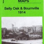 Selly Oak & Bournville 1914: Worcestershire Sheet 10.04b
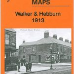 Walker & Hebburn 1914: Tyneside Sheet 13b
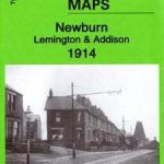 Newburn, Lemington & Addison 1914: Tyneside Sheet 25b
 Gateshead South (Bensham, Teams & Shipcote) 1914: Tyneside Sheet 23b
 Harborne 1938
 Harborne 1901
 Harborne South 1901
 Leadhills: Brief Sheet Explanation for 1: 50 000 Scale Geology Map, Sheet S15e (Scotland)
 Warwickshire
 The Malverns to Warwickshire
 Warwickshire A-Z County Atlas
 Domesday Book Warwickshire
 Warwickshire Pevsner Architectural Guide
 100 Walks in Warwickshire and West Midlands
 Warwickshire & South Midlands 110K Sustrans Cycle Map No. 16


