Disclosure : This site contains affiliate links to products. We may receive a commission for purchases made through these links.
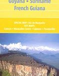
Guyana, Suriname & French Guiana ITMB
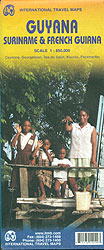
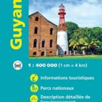
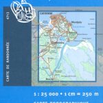
Guyana with on the reverse Surinam and French Guiana, all shown at 1:850,000 and indexed, with street plans of central Georgetown, Paramaribo, Cayenne and Kputpu. Altitude colouring with spot heights in feet indicates the region’s topography, with graphics showing swamps/mangrove areas and rapids on rivers. National parks and other protected areas, as well as Amerindian Reserves and disputed border areas are highlighted. Road network indicates, mainly in Guyana, road names and includes selected local tracks. Local airfields are marked. The map also shows internal administrative boundaries with names of the provinces/districts. Symbols indicate various places of interest, including locations with tourist accommodation, etc. Latitude and longitude lines are drawn at 1ยฐ and each side has a separate index.Street plans show tourist accommodation and places of interest. Another inset shows the Illes du Salut (Salvation Islands) at 1:35,000, including the infamous Devil’s Island.


