Disclosure : This site contains affiliate links to products. We may receive a commission for purchases made through these links.
Greenwich and the Isle of Dogs 1867
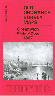
Greenwich and the Isle of Dogs in 1867 in a fascinating series of reproductions of old Ordnance Survey plans in the Alan Godfrey Editions, ideal for anyone interested in the history of their neighbourhood or family. Three versions have been published for this area, stretching from Deptford Creek eastward to Annandale Road and Selcroft Road, and southward to Vanbrugh House. A portion of Millwall on the Isle of Dogs is also included. Features on the Greenwich side include the Royal Hospital and Royal Naval College, St Alfege`s church, Bridge Street, LCDR railway terminus, Maze Hill station, Greenwich Pier, South Metropolitan Gas Works, Bridge Street, Deptford Dry Dock, Thames Street, workhouse and infirmary, Trinity Hospital almshouses, Trafalgar Road with tramways, Christ Church; and coverage extends north to Enderbys Wharf, Chester Street, Telegraph Works, Thames Soap & Candle Works. On the Isle of Dogs coverage includes Napier Shipbuilding Yard, southern part of Millwall Dock, Globe Roap Works, Manchester Road, Wharf Road, Greenwich Vehicular Ferry, Dudgeons Wharf, Plymouth Wharf, Millwall Wharf, and much of Cubitt Town.About the Alan Godfrey Editions of the 25″ OS Series:Selected towns in Great Britain and Ireland are covered by maps showing the extent of urban development in the last decades of the 19th and early 20th century. The plans have been taken from the Ordnance Survey mapping and reprinted at about 15 inches to one mile (1:4,340). On the reverse most maps have historical notes and many also include extracts from contemporary directories. Most maps cover about one mile (1.6kms) north/south, one and a half miles (2.4kms) across; adjoining sheets can be combined to provide wider coverage.FOR MORE INFORMATION AND A COMPLETE LIST OF ALL AVAILABLE TITLES PLEASE CLICK ON THE SERIES LINK.

Related Products:
 Greenwich and the Isle of Dogs 1913
 Greenwich 1894
West India Docks & Greenwich Marshes 1894 – 79.2
Greenwich 1894
West India Docks & Greenwich Marshes 1894 – 79.2
 West India Docks 1867 – 79.1
Chiswick 1867 – 85.1
West India Docks 1867 – 79.1
Chiswick 1867 – 85.1
 Poplar & Canning Town 1867 – 65.1
New Cross & Deptford Bridge 1871 – 104.1
Poplar & Canning Town 1867 – 65.1
New Cross & Deptford Bridge 1871 – 104.1
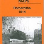
 Rotherhithe 1868 – 78.1
 Manchester North West and Central Salford 1915
Blackheath & Greenwich Park 1894 – 105.2
Manchester North West and Central Salford 1915
Blackheath & Greenwich Park 1894 – 105.2
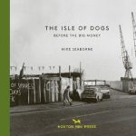 The Isle Of Dogs: Before the Big Money Moved In
Leyton 1863-1867
The Isle Of Dogs: Before the Big Money Moved In
Leyton 1863-1867
 Silvertown 1914
 Greenwich at Work: People and Industries Through the Years
 New Cross & Deptford Broadway 1894 – 104.2
Bristol (SW) & Bedminster 1902 – 75.04a
Ipswich South-West 1902
Devonport North 1893
Ipswich 1902 – 75.11
New Cross & Deptford Broadway 1894 – 104.2
Bristol (SW) & Bedminster 1902 – 75.04a
Ipswich South-West 1902
Devonport North 1893
Ipswich 1902 – 75.11
 Rotherhithe 1894 – 78.2
 Rotherhithe 1914 – 78.3
 Kingston upon Thames 1895 – 6.16
Central Sunderland 1895 – 8.14
Kingston upon Thames 1895 – 6.16
Central Sunderland 1895 – 8.14
 The Falls 1931 – 60.12
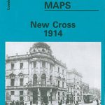 New Cross 1914 – 104.3
 Derby (South) 1899 – 50.13a
 Secret Greenwich
 Walsall (SW) & Pleck 1901 – 63.10a
Smethwick 1901 – 72.03a
Bow, Bromley & West Ham 1867 – 53.1
South Oxford 1898 – 39.03
Isle of Portland: Castletown 1927
Stratford 1867 – 42.1
Isle of Portland: Southwell 1927
Walsall (SW) & Pleck 1901 – 63.10a
Smethwick 1901 – 72.03a
Bow, Bromley & West Ham 1867 – 53.1
South Oxford 1898 – 39.03
Isle of Portland: Castletown 1927
Stratford 1867 – 42.1
Isle of Portland: Southwell 1927
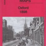 Oxford 1898 – 33.15
 Wolverhampton (SE) 1901 – 62.11b
Isle of Portland: Easton and Weston 1927
Isle of Portland: Fortuneswell and Grove 1927
Wolverhampton (SE) 1901 – 62.11b
Isle of Portland: Easton and Weston 1927
Isle of Portland: Fortuneswell and Grove 1927
 Walsall (SE) 1901 – 63.11
Sheffield Darnall 1903
Walsall (SE) 1901 – 63.11
Sheffield Darnall 1903