Disclosure : This site contains affiliate links to products. We may receive a commission for purchases made through these links.
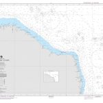
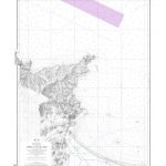
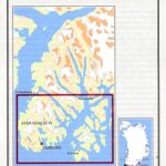
Greenland: Saga 500K Maps of Northern Greenland
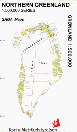
Coverage of the northern coast of Greenland originally produced by the Danish survey organization Kort & Martikelstyrelsen in April 2000 and now printed by Saga Maps. The maps have contours at 100m intervals with spot heights and indicate areas covered by icecap. Local settlements, research stations, airstrips and boundaries of protected areas are marked. The maps have a latitude grid at intervals of 15โ€ and longitude at 1ยบ. Map legend is in Danish only.PLEASE NOTE: although the covers of the maps show several more titles in this series, only those listed below are currently available.

Related Products:
 Greenland: Saga 500K/370K Maps
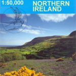 Northern Ireland: OSNI 50K Discoverer Maps
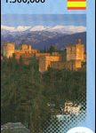 Spain: CNIG 500K Regional Road Maps
 Greenland : Greenland Tourism Hiking Maps
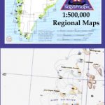
 Tajikistan: 500K Regional Maps
 Quaanaaq/Thule
 Ukraine: Kartografija 500K Road Maps
Nansen Land
Inglefield Land
Washington Land
Nyboe Land
Frederic E. Hyde Fjord
Ukraine: Kartografija 500K Road Maps
Nansen Land
Inglefield Land
Washington Land
Nyboe Land
Frederic E. Hyde Fjord
 France: Michelin 500K Road Maps
 Norway: 500K Topographic Survey of Svalbard/Spitsbergen
 Italy: Kรผmmerly + Frey Outdoor Maps of Northern Italy
 Ukraine Kartografija Road Atlas 500K HARDBACK
 Greenland: Sagamaps 250K Topographic Maps
 Ukraine Road Atlas (500K, Spiral-bound)
 Central Asia: 500K Regional Topographic Maps
 Ukraine: Kartografija`s 250K Maps of the Administrative Regions
 South Africa: 250K Topographic Survey Maps
 Norway: Nordeca 500K Regional Road Maps
 Greenland
 Northern Norrland Norstedts Regional Map 6
Latvia 500K Jana Seta Map
Northern Norrland Norstedts Regional Map 6
Latvia 500K Jana Seta Map
 Peru: 100K Topographic Survey Maps
 Slovenia: Kartografija 75K Hiking Maps
 Sweden: Norstedts Regional Road Maps
 Iceland: 250K Topographic Survey Road Maps
 Bulgaria: Domino Hiking Maps
Iceland Road Atlas 500K
Bulgaria: Domino Hiking Maps
Iceland Road Atlas 500K
 Galicia: Santiago de Compostela – Leรณn 500K CNIG Regional Map No.1
 Madrid – Toledo – Zagaroza 500K CNIG Regional Map No. 6
 Villamayor CNIG Topographic Map 478-I
Spain: 25K Mainland Spain Civilian Topographic Survey
Sos del Rey Catolico CNIG Topographic Map 207-II
Villamayor CNIG Topographic Map 478-I
Spain: 25K Mainland Spain Civilian Topographic Survey
Sos del Rey Catolico CNIG Topographic Map 207-II
 Germany: BKG 200K Topographic Maps
Salamanca CNIG Topographic Map 478-II
Germany: BKG 200K Topographic Maps
Salamanca CNIG Topographic Map 478-II
 Pyrenees East – Barcelona – Costa Brava 500K CNIG Regional Map No. 4
Calvarrasa de Arriba CNIG Topographic Map 478-IV
Pyrenees East – Barcelona – Costa Brava 500K CNIG Regional Map No. 4
Calvarrasa de Arriba CNIG Topographic Map 478-IV