Disclosure : This site contains affiliate links to products. We may receive a commission for purchases made through these links.
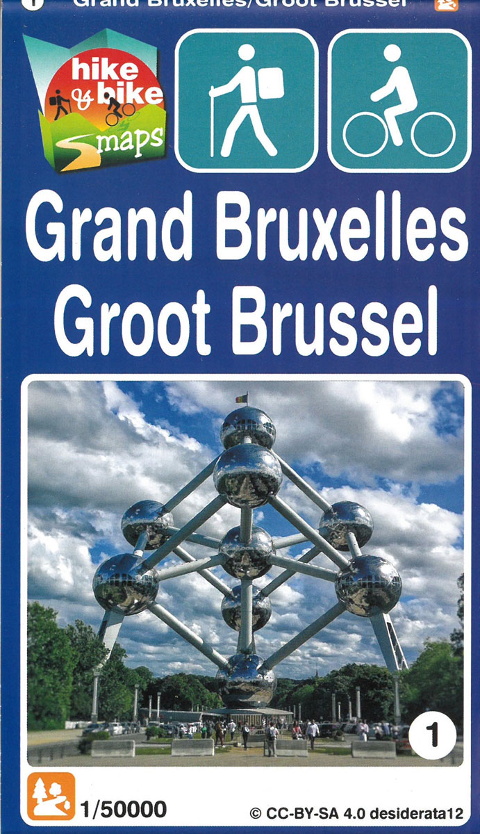
Greater Brussels Hike & Bike Map
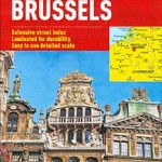
Brussels street plan from Michelin, primarily designed to be used for access to and travel across the city by car, given its wide coverage of the outer suburbs and detailed presentation of the surrounding motorway network. The plan covers Brussels with its outer suburbs and extends north to include access to the city’s international airport and south to cover most of the Forรชt de Soignes/Zoniรซnwoud. Road network is shown with the usual care associated with Michelin’s road maps: detailed layout of motorway junctions, dual carriageways, tunnels or underpasses, etc. Main traffic arteries are highlighted; one way streets and numerous car parks, particularly in the city centre are marked. The plan shows metro and railway lines with stations and locations of taxi ranks. Public buildings and facilities such as museums, theatres, historical monuments, churches, etc. are highlighted and named. Streets are annotated with selected house numbers for easier identification of addresses and, where necessary, both French and Dutch names are shown. Map legend includes English An enlargement at 1:12,000 shows the city centre in greater detail. A diagram of the metro network is provided in a separate booklet which also includes the index where streets with distinctly different names in French and Dutch have separate entries, each giving both names.To see the list of titles in this series please click on the series link.

Related Products:
 Brussels Hike & Bike Map
 Halle Forest Hike & Bike Map
 Amsterdam Michelin City Map
 Brussels Marco Polo City Map
 Granada Michelin City Map
 Malaga Michelin City Map
 Porto Michelin City Plan and Index
 Berlin Michelin City Map
 Valencia Michelin City Map
 Seville Michelin City Map
 Bilbao Michelin City Map
 Girona/Gerona Michelin City Map
 Florence Michelin City Map
 San Sebastian / Donostia Michelin City Map
 Brussels Michelin Citymap
 Brussels Borch
 La Coruรฑa Michelin City Map
 Michelin City Maps
 Santander Michelin City Map
 Bangkok and Greater Bangkok Nelles
 Bruges Hike & Bike Map
 Flemish Ardennes Hike & Bike Map
 Rome
Rome
 Turin TCI Street Plan
 St Petersburg Marco Polo City Map
 Bangkok Marco Polo City Map
 Warsaw Marco Polo City Map
 Moscow ITMB
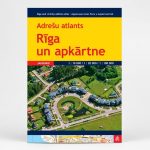 Riga and Vicinity Jana Seta Street Atlas
 Istanbul Marco Polo City Map
 St. Petersburg Jana Seta Street Plan
 Brussels Flexi Map
 Brussels PopOut
 Cape Town Marco Polo City Map
 Palma de Mallorca City Map / Mallorca Road Map
 Brussels F&B City Pocket Map
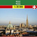 Vienna F&B
Greater Vienna F&B Street Atlas
Vienna F&B
Greater Vienna F&B Street Atlas
 Amsterdam Borch
 Lisbon Michelin City Plan and Index