Disclosure : This site contains affiliate links to products. We may receive a commission for purchases made through these links.
Great Britain South Quaternary
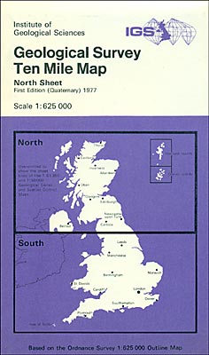
This map shows the superficial deposits on top of the bedrock, including glacial deposits, blown sand, peat, lake deposits, alluvium, loess and crag. The approximate southern limit of the Devensian glaciation is also marked. This map may be of interest to gardeners or botanists. This sheet shows the area south of a line roughly from Kendal to Scarborough.Also available flat.

Related Products:
 Great Yarmouth: Quaternary and Pre-quaternary Geology Map
 United Kingdom South BGS Bedrock Geology Map
United Kingdom South Bedrock Geology BGS Wall Map
United Kingdom South BGS Bedrock Geology Map
United Kingdom South Bedrock Geology BGS Wall Map
 Great Britain: The Daily Telegraph Wall Map of Great Britain & Ireland
 Great Britain: The Daily Telegraph Wall Map of Great Britain & Ireland (ENCAPSULATED)
 Great Britain South Administrative Boundary Wall Map 1B
United Kingdom South BGS Bedrock Geology Pack
Great Britain South Administrative Boundary Wall Map 1B
United Kingdom South BGS Bedrock Geology Pack
 Stanford`s South Polar Chart (1901) – A3 Wall Map, Paper
Stanford`s South Polar Chart (1901) – A3 Wall Map, Canvas
Stanford`s South Polar Chart (1901) – A2 Wall Map, Paper
Stanford`s South Polar Chart (1901) – A2 Wall Map, Canvas
Stanford`s South Polar Chart (1901) – A1 Wall Map, Canvas
Stanford`s South Polar Chart (1901) – A3 Wall Map, Paper
Stanford`s South Polar Chart (1901) – A3 Wall Map, Canvas
Stanford`s South Polar Chart (1901) – A2 Wall Map, Paper
Stanford`s South Polar Chart (1901) – A2 Wall Map, Canvas
Stanford`s South Polar Chart (1901) – A1 Wall Map, Canvas
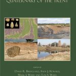 Quaternary of the Trent
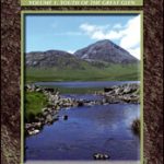 Corbetts Walking Vol 1: South of the Great Glen
Stanford`s South Polar Chart (1901) – A1 Wall Map, Paper – Print on Demand
Corbetts Walking Vol 1: South of the Great Glen
Stanford`s South Polar Chart (1901) – A1 Wall Map, Paper – Print on Demand
 South Georgia Explorer
 Chile South & Patagonia ITMB
 Portugal & South of Spain ITMB
 Great Britain: Sustrans/CycleCity Cycling Maps of Great Britain & Northern Ireland
 Oslo / Bergen & South of Norway ITMB
 Great Britain & Northern Ireland ReiseKnow-How Map
 Great Britain Borch
 South East Asia ITMB
 Great Britain: Maps International British Isles Planning Map ENCAPSULATED
 South-Holland South – Goeree-Overflakkee Falkplan Cycling Map 15
 South America Southern ITMB
 100 Great Walks with Kids: Fantastic Stomps Around Great Britain
 South Cumbria & The Lake District Sustrans Cycle Map 31
 Big Trails: Great Britain & Ireland: The best long-distance trails
 Stockholm South 24
 Argentina South & Tierra del Fuego ITMB
 Norway South Reise Know-How
 The Lives of the Great Gardeners
 South Africa Map Studio Pocket Map
Admiralty Chart Folio 35 – Eastern South Atlantic Ocean, South Africa and Southern Ocean
South Africa Map Studio Pocket Map
Admiralty Chart Folio 35 – Eastern South Atlantic Ocean, South Africa and Southern Ocean
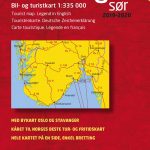 Southern Norway South – Oslo – Stavanger – Bergen – Hardangervidda Cappelen Sectional Road Map
 Metallogenic Map of South America
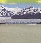
 Patagonian South Icefield – Monte Fitz Roy
 Poland South Reise Know-How