Disclosure : This site contains affiliate links to products. We may receive a commission for purchases made through these links.
Great Britain: Philip`s Navigator Regional Road Atlases
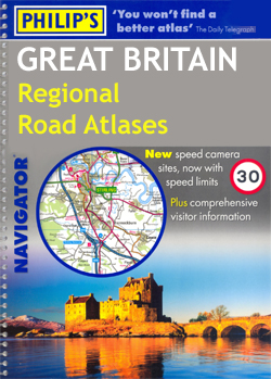
Most of Great Britain on A4, spiral-bound regional road atlases from Philipโ€s, with indexed street plans of city centres and a separate section listing numerous places of interest with brief descriptions. The atlases use the mapping of the publishersโ€ Navigator series recommended by the Institute of Advanced Motorists. Clear base map uses colouring to indicate national parks and areas of outstanding natural beauty plus woodland and beaches, with additional spot heights and names of various geographical features such as heath, moors, etc.Road network includes minor roads and tracks and marks separately narrow A and B road. The maps show names of many isolated building, farms or local landmarks often not marked on maps at scales less detailed than the Ordnance Surveyโ€s Landranger series at 1:50,000. Railway lines are shown with stations. Symbols highlight various places of interest, sport and recreational facilities, etc. The maps have no geographical coordinates.Each atlas is indexed and includes indexed street plans of city centres in main towns. Also provided is a separate illustrated section listing numerous places of interest, all with brief descriptions and divided into various themes: towns and villages, churches and cathedrals, castles, houses, gardens, activities, etc.

Related Products:
 Great Britain: A-Z Regional Road Maps and Atlases
 Great Britain: A-Z Visitors` Maps and Atlases
 Great Britain: AA Regional Road Maps
 Great Britain: Philip`s Road Atlases
 Great Britain: Philip`s City Street Atlases
 Australia: UBD Gregory`s Regional Road Maps
 Great Britain: Philip`s “Red Books” Regional and County Tourist Maps
 Britain Philip`s Navigator Easy-Use Road Atlas
 Britain Philip`s Navigator Road Atlas FLEXI-BOUND
 Britain Philip`s Navigator Road Atlas SPIRAL-BOUND
 Great Britain & Northern Ireland: Philip`s County Street Atlases
 Scotland Philip`s Navigator Road Atlas
 Britain Philip`s Navigator Trucker`s Road Atlas A3 SPIRAL-BOUND
 Great Britain: Sustrans/CycleCity Cycling Maps of Great Britain & Northern Ireland
 Britain Philip`s Navigator Camping and Caravanning Road Atlas
 India: ITMB Regional Road Maps
 Britain Philip`s Driver`s Road Atlas A4 PAPERBACK
 Great Britain: A-Z Towns and Cities Street Atlases
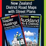 New Zealand: Kiwimaps District Road Maps with Street Plans
 Benelux: Michelin Regional Road Maps and Atlases
 Great Britain: Michelin Regional Tourist Maps
 Argentina: Firestone Regional Road Maps
 Portugal: Turinta Regional Road Maps
 Australia: Hema Regional Road Maps
USA: Benchmark Road and Recreational Atlases of Western USA
Australia: Hema Regional Road Maps
USA: Benchmark Road and Recreational Atlases of Western USA
 Great Britain: A-Z County Street Atlases
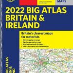
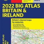 Britain & Ireland Philip`s Big Road Atlas 2022 A3 PAPERBACK
 Estonia: Regio 275K Regional Road Maps
Canada: MapArt / Canadian Cartographics Corporation Provincial and Regional Road Maps and Atlases
Estonia: Regio 275K Regional Road Maps
Canada: MapArt / Canadian Cartographics Corporation Provincial and Regional Road Maps and Atlases
 Britain & Ireland Philip`s Big Road Atlas 2022 A3 SPRIAL-BOUND
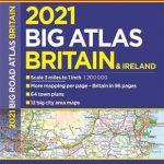 Britain & Ireland Philip`s Big Road Atlas 2021 A3 PAPERBACK
 USA: Borch Regional Road Maps
 India: Nelles Regional Road Maps
 Great Britain: A-Z Regional Wall Maps
 Britain and Ireland Philip`s Road Map
 Britain & Ireland Philip`s Essential Road Atlas 2021 A4 PAPERBACK
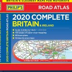 Britain & Ireland Philip`s Complete Road Atlas 2020 HARDBACK
 Great Britain: Michelin 400K Road Maps
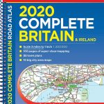 Britain & Ireland Philip`s Complete Road Atlas 2020 SPIRAL-BOUND