Disclosure : This site contains affiliate links to products. We may receive a commission for purchases made through these links.
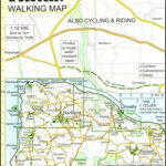
Great Britain: CroydeCycle Local Walking Maps of the West Country
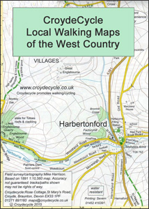
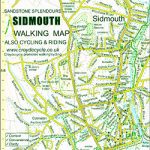
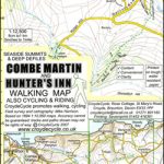
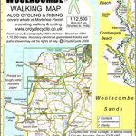
The West Country on detailed, contoured and GPS compatible hiking and cycling maps from Croydecycle, printed on light, waterproof and tear-resistant synthetic paper. Each handy size, 50 x 35cm, map is double-sided to cover a wider area. The maps are published in three different formats/scales:- Maps at 1:12,500 (5โ€ to 1 mile) primarily designed for hiking. An overprint highlights footpaths, permissive paths, bridleways cycle tracks and country roads/byways. The 1:12,500 maps are numbered on our website westwards along the Somerset and north Devon coast, and then eastwards along the southern coast of Devon and into Dorset.- Strip maps at 1:15,000/1:30,000 for the South West Coast National Trail- Cycling maps at scales between 1:100,000 and 1:30,000, indicating routes of the National Cycle Network and highlighting cycle tracks. All the maps are contoured, with graphics and/or colouring for different types of terrain and vegetation, and have in the margins British National Grid coordinates. Symbols show locations of campsites and caravan sites, riding stables, pubs/cafes/restaurants, shops and other local facilities, etc. Most titles include insets with town centre street plans.For details of coverage, contour interval and a list of street plans in each title, please its individual description.


