Disclosure : This site contains affiliate links to products. We may receive a commission for purchases made through these links.
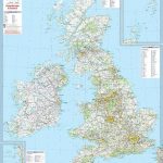
Great Britain Constituency Map A1 (Paper) 2017 COLOUR
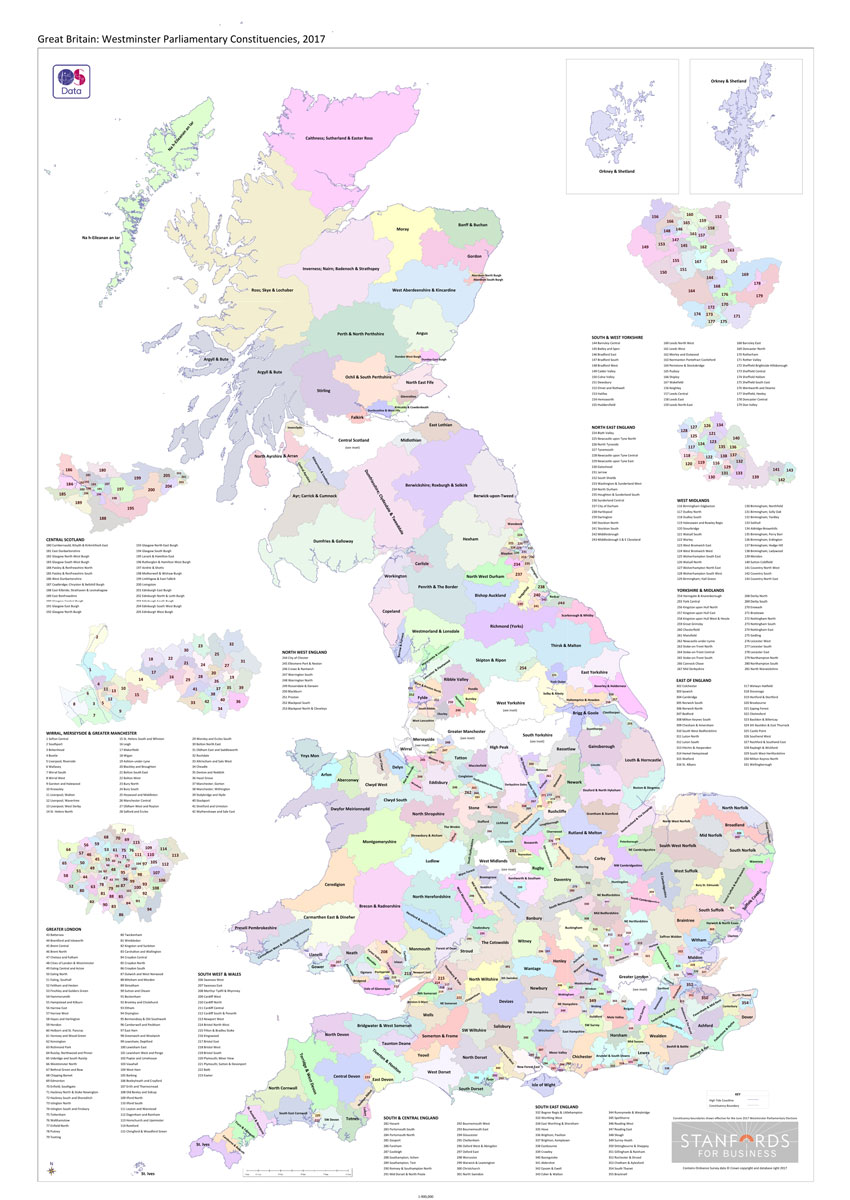
Great Britain: Westminster Parliamentary Constituencies map. Using Ordnance Survey data we’ve shown all of the current up to-date constituency boundaries so you can get to know the electoral geography of Great Britain. Large scale inserts of the following metropolitan areas: London, Central Scotland, South & West Yorkshire, the West Midlands, Wirral, Merseyside & Greater Manchester for ease of use.Also available in black and white.


