Disclosure : This site contains affiliate links to products. We may receive a commission for purchases made through these links.
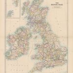
Great Britain: A-Z Visitors` Maps and Atlases
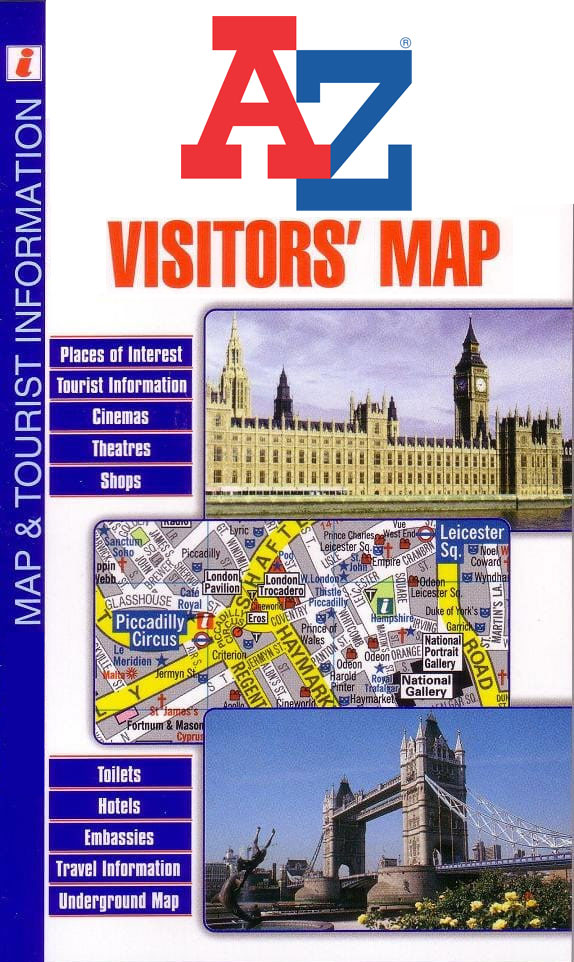
Popular holiday areas of England in a series of detailed Visitorsโ€ road maps and/or road atlases from Geographers` A-Z Map Company prominently highlighting numerous places of interest, with in most titles street plans of main tourist destinations and an index of both towns/villages and sights/facilities.Where both formats, a folded map and an atlas, are published, each contains the same mapping, with the print size adjusted to fit the scale. In folded maps, the main map is surrounded by insets with street plans and panels with indexes. In the atlases, the street plans are much larger so easier to read and have a street index plus much more extensive descriptions of places of interest and tourist information. Each atlas also contains an additional guide section with descriptions of other places of interest. Unless specified to the contrary in the individual description, each map or atlas has both an index of towns and villages and a separate list of places of interest.Cartography varies, with the publishers adopting in the more recent editions slightly lighter, cleared style of presenting both the topography and the road network โ€“ please see the individual descriptions for more information. A wide range of symbol highlight numerous places of interest and various facilities, including camping and caravan sites, youth hostels, etc. Road network indicates, were appropriate, narrow major roads with passing places, gradients on steep roads, etc. Railway lines are shown with names of stations. The maps have British National Grid lines for GPS users.

Related Products:
 Great Britain: Philip`s Navigator Regional Road Atlases
 Great Britain: A-Z Regional Road Maps and Atlases
 Great Britain: Philip`s Road Atlases
 Great Britain: AA Regional Road Maps
 Great Britain: A-Z Towns and Cities Street Atlases
 Great Britain & Northern Ireland: Philip`s County Street Atlases
 Great Britain: Nicolson Street Guide Maps
 Great Britain: A-Z County Street Atlases
 Great Britain: Philip`s City Street Atlases
 Great Britain: Sustrans/CycleCity Cycling Maps of Great Britain & Northern Ireland
 Australia: UBD Gregory`s Regional Road Maps
 Great Britain: Philip`s “Red Books” Regional and County Tourist Maps
 Great Britain: Michelin Regional Tourist Maps
 London: A-Z Street Atlases and Maps
 Great Britain: Ordnance Survey Tour Maps
 Great Britain: Michelin 400K Road Maps
 Germany: Marco Polo 200K Regional Road Maps
 Benelux: Michelin Regional Road Maps and Atlases
 Germany: Freytag & Berndt “Top 10 Tips” Road Maps
 Great Britain A-Z Road Atlas 2022 A4 SPIRAL-BOUND
 New Zealand: Kiwimaps District Road Maps with Street Plans
Great Britain: A-Z/Ordnance Survey 25K Adventure Atlases
New Zealand: Kiwimaps District Road Maps with Street Plans
Great Britain: A-Z/Ordnance Survey 25K Adventure Atlases
 USA: Great Pacific Recreation & Travel Maps of the Pacific Northwest
 Great Britain & Northern Ireland A-Z Road Atlas 2022 A3 PAPERBACK
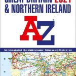 Great Britain & Northern Ireland A-Z Road Atlas 2021 A3 PAPERBACK
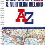
Great Britain & Northern Ireland A-Z Road Atlas 2023 A3 PAPERBACK
Great Britain & Northern Ireland A-Z Road Atlas 2021 A3 PAPERBACK
Great Britain & Northern Ireland A-Z Road Atlas 2023 A3 PAPERBACK
 Devon – Cornwall – West Somerset A-Z Visitors` Atlas & Guide
Canada: MapArt/Canadian Cartographics Corporation Cities and Regions Street Maps and Road Atlases
Devon – Cornwall – West Somerset A-Z Visitors` Atlas & Guide
Canada: MapArt/Canadian Cartographics Corporation Cities and Regions Street Maps and Road Atlases
 Mexico: Ed. Independecia State Road Maps and Street Plans
 Great Britain & Northern Ireland A-Z Super Scale Road Atlas 2022 A3 SPIRAL-BOUND
 India: Eicher State Road Maps
Canada: MapArt / Canadian Cartographics Corporation Provincial and Regional Road Maps and Atlases
India: Eicher State Road Maps
Canada: MapArt / Canadian Cartographics Corporation Provincial and Regional Road Maps and Atlases
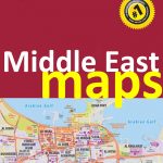 Middle East: Explorer Publishing Maps, Atlases and Street Plans
 Great Britain: Speede County Maps of Great Britain
 Great Britain & Ireland Michelin Main Roads Atlas 2021 SPIRAL-BOUND
 Great Britain & Ireland Michelin Main Roads Atlas 2021 A4 PAPER
 Great Britain: A-Z Regional Wall Maps
Austria F&B Great Travel Atlas
Great Britain: A-Z Regional Wall Maps
Austria F&B Great Travel Atlas
 Denmark: MairDumont Marco Polo 200K Road Maps