Disclosure : This site contains affiliate links to products. We may receive a commission for purchases made through these links.
Great Britain: A-Z Regional Wall Maps
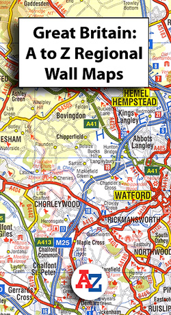
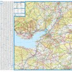
Great Britain on a series of regional wall maps from A-Z at scales adjusted to the more traditional ratios expressed in miles to one inch, with clear presentation of the road network, some topographic information, places of interest, etc. Most titles are at 3 miles to 1โ€, the equivalent of 1:200.000.The publisherโ€s cartography, also used in their 5 miles to 1โ€ series, is enlarged here to make local roads more prominent and provides all the standard motoring information: services, primary route destinations, toll barriers, gradients, etc. Railway lines are shown with stations.Topography is shown by altitude tints, if in rather broad bands, with additional spot heights (all in feet), plus colouring for woodlands. A range of symbols highlight various places of interest. Each title shows the British national grid lines and, unless stated to the contrary in its individual description, is indexed. * For more information please see individual descriptions.* Maps shown on the series grid and not listed on our website are not available from the publishers.* All the titles in this series are also available as folded maps.

Related Products:
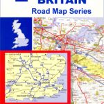
 Great Britain: A-Z Regional Road Maps and Atlases
 Great Britain: A-Z Five Miles to One Inch Wall Maps
 Great Britain: AA Regional Road Maps
 Great Britain: Philip`s “Red Books” Regional and County Tourist Maps
 Great Britain: Ordnance Survey 250K Regional Maps
 Great Britain: Sustrans/CycleCity Cycling Maps of Great Britain & Northern Ireland
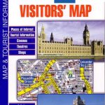 Great Britain: A-Z Visitors` Maps and Atlases
 Great Britain: Ordnance Survey Tour Maps
 Kent A-Z Visitors` Wall Map
 Great Britain: Michelin Regional Tourist Maps
 Great Britain: A-Z Five Miles to One Inch Road Maps
 Great Britain: Goldeneye Cycling Country Lanes & Traffic-Free Family Routes Maps
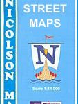 Great Britain: Nicolson Street Guide Maps
 Great Britain: Harvey British Mountain Maps
 50 Miles Around Birmingham A-Z Wall Map
Great Britain: JJM Designs Pub Stops Wall Maps
50 Miles Around Birmingham A-Z Wall Map
Great Britain: JJM Designs Pub Stops Wall Maps
 Indonesia: Periplus Regional Maps
 Portugal: Turinta Regional Road Maps
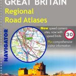 Great Britain: Philip`s Navigator Regional Road Atlases
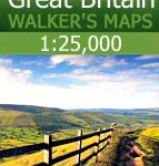 Great Britain: AA/Ordnance Survey 25K Walker`s Maps
 Great Britain: Goldeneye Mountain Bike Route Maps
 50 Miles Around Bristol Wall Map PAPER
 Great Britain: Michelin 400K Road Maps
 Great Britain: Harvey Cycling and Other Recreational Maps
 Thailand: ThinkNet Regional Road Maps
 Mexico: ITMB Regional Road Maps
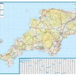 Devon & Cornwall A-Z Wall Map PAPER
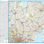 East Anglia A-Z Wall Map
 Glasgow – Edinburgh & Central Scotland A-Z Wall Map PAPER
 Indonesia: Reise-Know How Regional Maps
 Great Britain: OS 25K Explorer Maps (Paper and Waterproof Editions)
 Great Britain: OS 50K Landranger Maps (Paper and Waterproof Editions)
 Great Britain: Footprint Maps of Long-distance Hiking Routes
 Great Britain: Reproductions of Old City Maps from the Old House Books
 Great Britain & Northern Ireland ReiseKnow-How Map
 China: ITMB Regional Maps
 Vietnam: ITMB Regional Maps
Great Britain: Philip`s Road Atlases
Vietnam: ITMB Regional Maps
Great Britain: Philip`s Road Atlases
 Great Britain: Footprint Maps of Long-distance Cycling Routes