Disclosure : This site contains affiliate links to products. We may receive a commission for purchases made through these links.
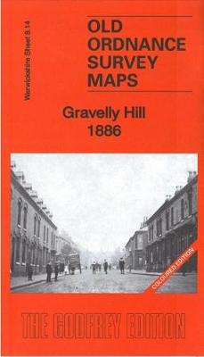
Gravelly Hill 1886: Warwickshire Sheet 8.14A
Related Products:
 Gravelly Hill 1913: Warwickshire Sheet 8.14C
 Birmingham (Saltley) 1886: Warwickshire Sheet 14.02a
 Sutton Coldfield 1886: Warwickshire Sheet 4.15a: Coloured Edition
 Gravelly Hill 1902
 Edgbaston 1914: Warwickshire Sheet 13.12c
 Harborne 1914: Warwickshire Sheet 13.11b
 Kenilworth 1903: Warwickshire Sheet 26.10
 Ward End 1902: Warwickshire Sheet 14.03
 Stechford 1902: Warwickshire Sheet 14.07
 Moseley 1903: Warwickshire Sheet 14.13a
 Stratford on Avon 1885: Warwickshire Sheet 44.06
 Birmingham (Saltley) 1913: Warwickshire Sheet 14.02B
 Central Birmingham 1902: Warwickshire Sheet 14.05B
 Aston Manor 1938: Warwickshire Sheet 8.13b
 Kings Heath 1937: Warwickshire Sheet 19.01
 Bournbrook & Birmingham University 1914: Warwickshire Sheet 13.16b
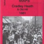 Cradley Heath & Old Hill 1881: Staffordshire Sheet 71.08a
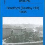 Bradford (Dudley Hill) 1905: Yorkshire Sheet 217.09
 Drighlington (W) & Westgate Hill 1905: Yorkshire Sheet 217.14
 Arthur`s Hill & Fenham 1937: Tyneside Sheet 10B
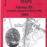 Hanley SE (Joiners Square & Berry Hill) 1898: Staffordshire Sheet 18.02
 Brierley Hill (East) & Quarry Bank 1882: Staffordshire Sheet 71.07a
 Enfield (Forty Hill & Clay Hill) 1935 – 2.15
 Trowbridge 1886 – 38.07a Coloured Edition
 Leadhills: Brief Sheet Explanation for 1: 50 000 Scale Geology Map, Sheet S15e (Scotland)
 Streatham Hill & Tulse Hill 1894 – 126.2
 Streatham Hill & Tulse Hill 1914 – 126.3
 Rothesay 1886 – 204.06
 South Chilterns 1886
 Blackwater and Chelmer 1886
 Thame and District 1886
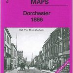 Dorchester 1886 – 40.15a Colour Edition
 Taunton 1886 – Colour Edition
 NOAA Chart 13316 – Blue Hill Bay – Blue Hill Harbor
 Roding Valley and Epping Forest 1886
 Public Houses Map of Victorian London 1886
 Warwickshire
 The Malverns to Warwickshire
 Warwickshire A-Z County Atlas
 Domesday Book Warwickshire


