Disclosure : This site contains affiliate links to products. We may receive a commission for purchases made through these links.
Gothenburg Tourist Map
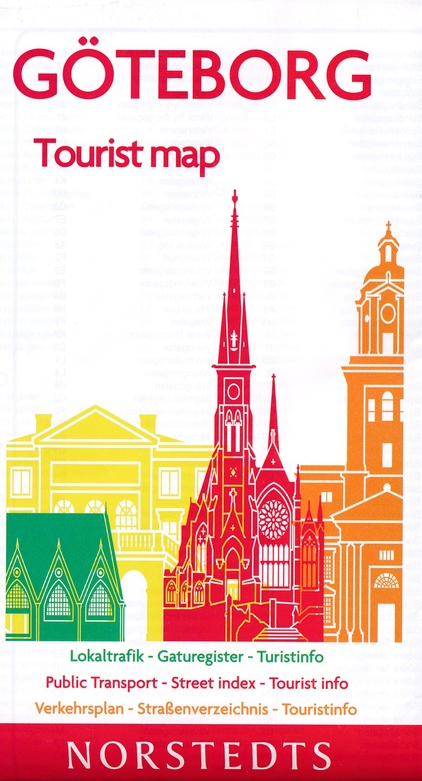
Gothenburg/Gรถteborg on an indexed street plan from Norstedts Kartfรถrlaget showing the city’s tram network, ferry connections, car parks, etc. Main public buildings are highlighted and named, and streets are shown with selected house numbers for easier identification of addresses. Tram routes are shown with line numbers and ferry routes are marked. Map legend includes English. On the reverse is a street index, plus lists of main places of interest and museums, youth hostels, boat trips, etc.The publishers, Norstedts Kartfรถrlaget, is the now privatized section of Sweden’s national survey organization, Lantmรคteriet.

Related Products:
 Gothenburg Pocket Atlas
 Istanbul Mepmedya Tourist Plan
 Geneva CityPocket Street Plan
 Sweden South-West – Gothenburg ‘“ Vanersee – Karlstad F&B
 Carpathians Kartografija Tourist Map ENGLISH
 Helsinki City Map
 Gotland Norstedts Road Map
 Denmark F&B
 Czech Republic 100K Tourist Road Atlas
 Innsbruck F&B Tourist Street Plan
 Stockholm County Norstedts Road Map
 Zรผrich Tourist Map
 Istanbul Marco Polo City Map
 Monti Iblei – South-Eastern Sicily Global Map Tourist Map
 Budapest Marco Polo City Map
 Brussels Marco Polo City Map
 Zurich Street Atlas
 Poznan ExpressMap Street Plan
 Berlin Marco Polo City Map
 Stockholm Tourist Map
 Prague Marco Polo City Map
 Tallinn Public Transport Map
 Bangkok Marco Polo City Map
 Basel Pocket Street Plan
 Geneva: Greater Geneva Street Plan
 Hungary – Budapest Road Atlas SPIRAL-BOUND
 Barcelona “Maps to Go” Street Plan
 Warsaw Marco Polo City Map
 Riga City Center Jana Seta Street Plan
 Moscow Jana Seta Street Plan
 Bucharest Street Atlas
 Linz F&B Tourist Street Plan
Denmark Tourist Map – Major Cities with the Marguerite Route
Linz F&B Tourist Street Plan
Denmark Tourist Map – Major Cities with the Marguerite Route
 Vienna F&B Tourist Street Plan
 Helsinki & Southern Finland ITMB
 Katowice ExpressMap Street Plan
 Zurich
 Hong Kong Marco Polo City Map
 Budapest City Plan
 Dublin City Centre Tourist Map