Disclosure : This site contains affiliate links to products. We may receive a commission for purchases made through these links.
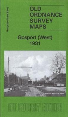
Gosport (West) 1931 – 83.06

Related Products:
 Old Portsmouth & Gosport 1931 – 83.11c
 Southampton (West) 1931 – 65.10b
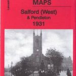 Salford (West) & Pendleton 1931 – 104.05c
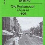 Old Portsmouth & Gosport 1908 – 83.11b
 Old Portsmouth & Gosport 1896 – 83.11a
 Southsea 1931 – 83.12c
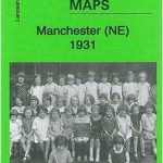 Manchester (NE) 1931 – 104.07c
 Old Trafford 1931 – 104.13c
 Meon Valley, Portsmouth, Gosport & Fareham OS Explorer Map OL3 (paper)
 Alverstoke & Stokes Bay 1931 – 83.10
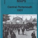 Central Portsmouth 1931 – 83.08c
 Lymington (East) 1931 – 88.03
 Fareham (South) 1931 – 75.09
 Eastleigh (North) 1931 – 57.08b
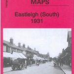 Eastleigh (South) 1931 – 57.12b
 Southampton Docks 1931 – 65.15b
 Pendleton (North) 1931 – 104.01c
 Newton Heath 1931 – 104.04c
 Meon Valley, Portsmouth, Gosport & Fareham OS Explorer Active Map OL3 (waterproof)
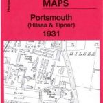 Portsmouth (Hilsea & Tipner) 1931 – 75.16
 Fareham (North) & Wallington 1931 – 75.05
 Southhampton (Millbrook & Redbridge) 1931 – 65.05
 Southampton NW (Shirley & Freemantle) 1931 – 65.06
 Southampton (Upper Shirley) 1931 – 65.02
 Manchester (NW) & Central Salford 1931 – 104.06c
 Manchester (Harpurhey & Collyhurst) 1931 – 104.03c
 Portsea & Portsmouth Dockyard 1931 – 83.07c
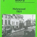 Holywood 1931
 The Falls 1931 – 60.12
Central Belfast 1931 – 61.09
Furness Abbey 1931
The Falls 1931 – 60.12
Central Belfast 1931 – 61.09
Furness Abbey 1931
 The Folk Who Live In The West: Tales from the West Coast
 South West Secret Agents: True Stories of the West Country at War
 Cathedrals of Britain: West, South West and Wales
 Mountain Biking in West and North West Scotland
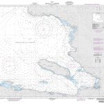
Admiralty Chart Folio 90 – West Coast North America – Cape Mendocino to Vancouver Island including West Coast of Vancouver Island
Mountain Biking in West and North West Scotland
Admiralty Chart Folio 90 – West Coast North America – Cape Mendocino to Vancouver Island including West Coast of Vancouver Island
 Out West: An Englishman`s Travels Through the American West
 Trekking the Hadrian`s Wall Path (National Trail Guidebook with OS 1:25k maps): Two-way guidebook: described east-west and west-east
 West of Eden
Cartagena West
West of Eden
Cartagena West