Disclosure : This site contains affiliate links to products. We may receive a commission for purchases made through these links.
Gold Coast QLD UBD Gregory`s 404


Related Products:
 Far North Coast NSW UBD Gregory`s 296
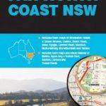
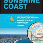 Sunshine Coast QLD UBD Gregory`s 405
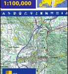
 Townsville & Cassowary Coast QLD UBD Gregory`s 489
 Gold Coast and Region Hema
 Central Coast Suburban Streets NSW UBD Gregory`s 289
 Southern Highlands & South Coast NSW UBD Gregory`s 283-298
 Lonely Planet Pocket Brisbane & the Gold Coast
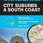 Canberra City Suburbs & South Coast NSW UBD Gregory`s 248
 Gold Fever: One Man`s Adventures on the Trail of the Modern Gold Rush
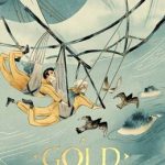 Gold
Gold
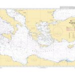
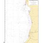
 SHOM Charts for the South West Coast of France – North Coast of Spain
 The Gold Thief
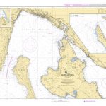
Admiralty Chart Folio 26 – West Coast of Italy – Toulon to Messina Strait and North Coast of Sicily
Admiralty Chart Folio 17 – West Coast of France and North Coast of Spain, Chaussee de Sein to Golfo de Foz
The Gold Thief
Admiralty Chart Folio 26 – West Coast of Italy – Toulon to Messina Strait and North Coast of Sicily
Admiralty Chart Folio 17 – West Coast of France and North Coast of Spain, Chaussee de Sein to Golfo de Foz
 The Glass of Lead and Gold
Gold Inlay Un-Lined
gold inlay midi
The Glass of Lead and Gold
Gold Inlay Un-Lined
gold inlay midi
 In the City of Gold and Silver
 The Pure Gold Baby
 White Gold Veluto Bowl
Gold Planet Earth Bauble
White Gold Veluto Bowl
Gold Planet Earth Bauble
 Hunter Valley NSW UBD Gregory`s 213
Mackay & Whitsundays QLD UBD Gregory`s 485
Hunter Valley NSW UBD Gregory`s 213
Mackay & Whitsundays QLD UBD Gregory`s 485
 Bendigo – Shepparton VIC UBD Gregory`s 383
Bees Gold Paper Mache Bauble
Bendigo – Shepparton VIC UBD Gregory`s 383
Bees Gold Paper Mache Bauble
 Sir Charlie Stinky Socks: The Mummy`s Gold
 Horrid Henry`s Gold Medal Games
 Wollongong Suburban Streets NSW UBD Gregory`s 299
 South Eastern Queensland UBD Gregory`s 431
 Perth UBD Gregory`s City Pocket 661
 Toowoomba – Dalby & Kingaroy QLD UBD Gregory`s 488
 Queensland State & Suburban UBD Gregory`s 470
Queensland State & Cities UBD Gregory`s 419
Queensland State & Suburban UBD Gregory`s 470
Queensland State & Cities UBD Gregory`s 419
 Australia: UBD Gregory`s Road Atlases
 3×25 ‘Symphony” Opera Glass (Pearl/Gold)
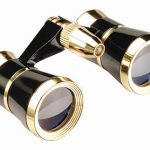 3×25 ‘Symphony” Opera Glass (Black/Gold)
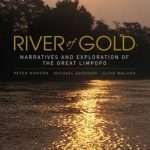 River of Gold: Narratives and Exploration of the Great Limpopo
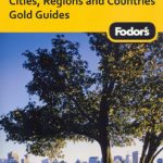 Fodor’s Cities, Regions & Countries Gold Guides
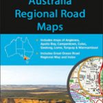 Australia: UBD Gregory`s Regional Road Maps
Australia: UBD Gregory`s Street Maps and Directories
Australia: UBD Gregory`s Regional Road Maps
Australia: UBD Gregory`s Street Maps and Directories