Disclosure : This site contains affiliate links to products. We may receive a commission for purchases made through these links.
Glocknergruppe Alpenverein KOMBI Map 40
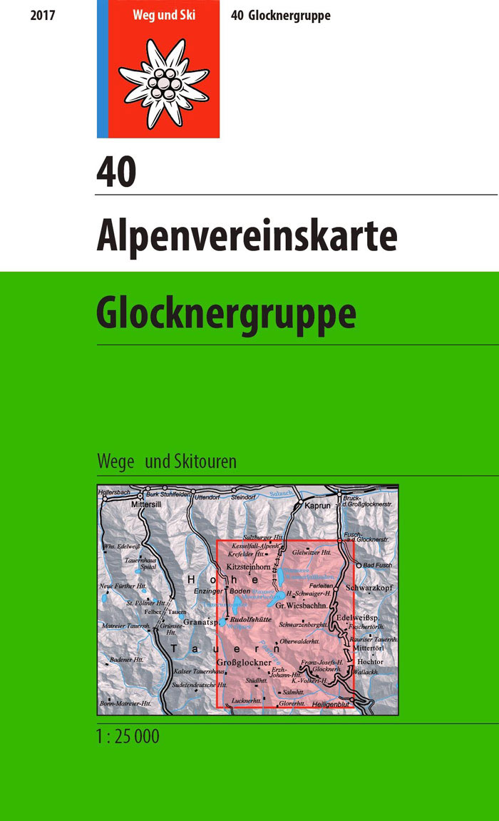
Glocknergruppe area of the Alps in a hiking edition at 1:25,000 from a series of detailed, GPS compatible maps published by the DAV – Deutscher Alpenverein and produced by the German and Austrian Alpine Clubs using cartography from their respective survey organizations. Maps in this series have topography vividly presented by contours at 20 metres intervals, enhanced by shading and finely drawn graphic relief. An overprint highlights hiking paths and/or ski routes (please see the note below), campsites and various types of mountain huts and refuges. The area covered by each map varies according to the scale; for 1:25,000 maps it is approximately 25×18 km (15 x 11 miles). The maps have a 1-km UTM grid, plus margin ticks with latitude and longitude at intervals of 1`. Map legend is in German only.PLEASE NOTE ‘“ THE OVERPRINT FOR HIKING and/or SKI ROUTES: all Sheet Ref. numbers shown on the accompanying grid are available with an overprint highlighting hiking trails, indicating sections with fixed climbing ropes and, where appropriate, the waymarking route numbers. Several titles are now published with both hiking and ski routes on them. Other areas are covered by two separate maps: a hiking edition plus a ski edition. The type of the overprint is indicated in our title of each map.To see the list of titles in this series please click on the series link.

Related Products:
 Dachsteingruppe Alpenverein KOMBI Map 14
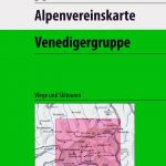 Venedigergruppe Alpenverein KOMBI Map 36
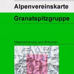 Granatspitzgruppe Alpenverein KOMBI Map 39
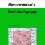 Hochschwabgruppe Alpenverein KOMBI Map 18
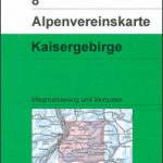 Kaisergebirge Alpenverein KOMBI Map 8
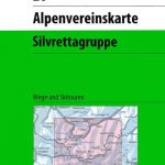 Silvretta Alpenverein KOMBI Map 26
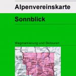 Sonnblick Alpenverein KOMBI Map 42
 Schobergruppe Alpenverein KOMBI Map 41
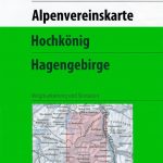 Hochkรถnig – Hagengebirge Alpenverein KOMBI Map 10/2
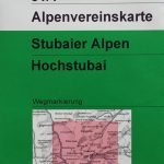 Stubai Alps – Hochstubai Alpenverein KOMBI Map 31/1
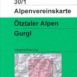 Otztal Alps – Gurgl Alpenverein KOMBI Map 30/1
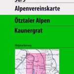 Otztal Alps – Kaunergrat Alpenverein KOMBI Map 30/3
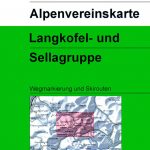 Langkofel – Sellagruppe Alpenverein KOMBI Map 52/1
Steinernes Meer Alpenverein KOMBI Map 10/1
Langkofel – Sellagruppe Alpenverein KOMBI Map 52/1
Steinernes Meer Alpenverein KOMBI Map 10/1
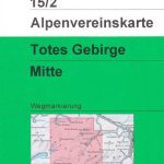 Totes Gebirge Central Alpenverein KOMBI Map 15/2
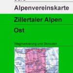 Zillertal Alps East Alpenverein KOMBI Map 35/3
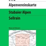 Stubai Alps – Sellrain Alpenverein KOMBI Map 31/2
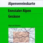 Ennstal Alps – Gesause Alpenverein KOMBI Map 16
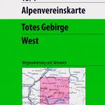 Totes Gebirge West Alpenverein KOMBI Map 15/1
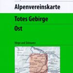 Totes Gebirge East Alpenverein KOMBI Map 15/3
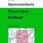 Otztal Alps – Weisskugel Alpenverein KOMBI Map 30/2
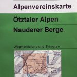 Otztal Alps – Nauderer Berge Alpenverein KOMBI Map 30/4
Lechtal Alps – Heiterwand and Muttekopfgebiet Alpenverein KOMBI Map 3/4
Otztal Alps – Nauderer Berge Alpenverein KOMBI Map 30/4
Lechtal Alps – Heiterwand and Muttekopfgebiet Alpenverein KOMBI Map 3/4
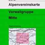
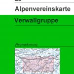 Verwallgruppe Alpenverein Map 28
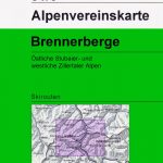
 Brennerberge Alpenverein Map 31/3
 Tennengebirge Alpenverein Map 13
 Karwendelgebirge Central Alpenverein Map 5/2
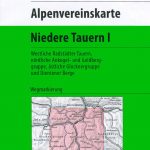 Niedere Tauern I Alpenverein Map 45/1
 Niedere Tauern III Alpenverein Map 45/3
 Brennerberge Alpenverein 31/3SKI
 Hochalmspitze – Ankogel Alpenverein Map 44
 Verwallgruppe Central Alpenverein Map 28/2
 Niedere Tauern II Alpenverein Map 45/2
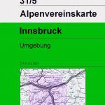
 Innsbruck and Environs Alpenverein Map 31/5
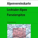 Lechtal Alps – Parseierspitze Alpenverein Map 3/3
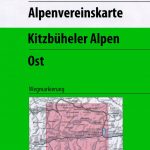 Kitzbuhel Alps East Alpenverein Map 34/2
Karwendel Range West Alpenverein Map 5/1
Kitzbuhel Alps East Alpenverein Map 34/2
Karwendel Range West Alpenverein Map 5/1
 Innsbruck and Environs Alpenverein SKI Map 31/5SKI
 Zillertal Alps West Alpenverein Map 35/1
 Stubai Alps Central Alpenverein Map 31/4