Disclosure : This site contains affiliate links to products. We may receive a commission for purchases made through these links.
Glasgow – Stirling & the Clyde Sustrans Cycle Map 41
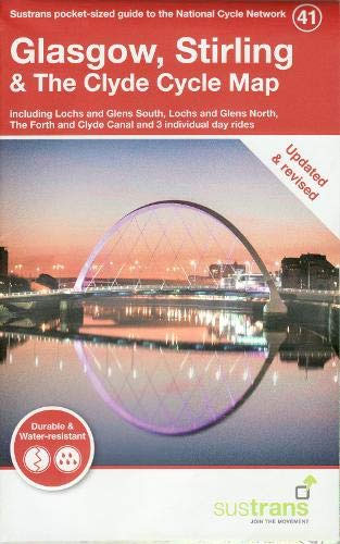
Updated in 2019 on water resistant and durable paper. This is in the series of official pocket sized, folded maps to the National Cycle Network which include clearly mapped on-road and traffic-free paths, easy to read contours and detailed town insets. The series is published by Sustrans at 1:110,000 scale; folded 155mm x 99mm; flat 792mm x 630mm. The Glasgow, Stirling & The Clyde Cycle Map includes Lochs and Glens South & North, The Forth and Clyde Canal and three individual day rides.


