Disclosure : This site contains affiliate links to products. We may receive a commission for purchases made through these links.
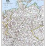
Germany NGS Executive Wall Map PAPER
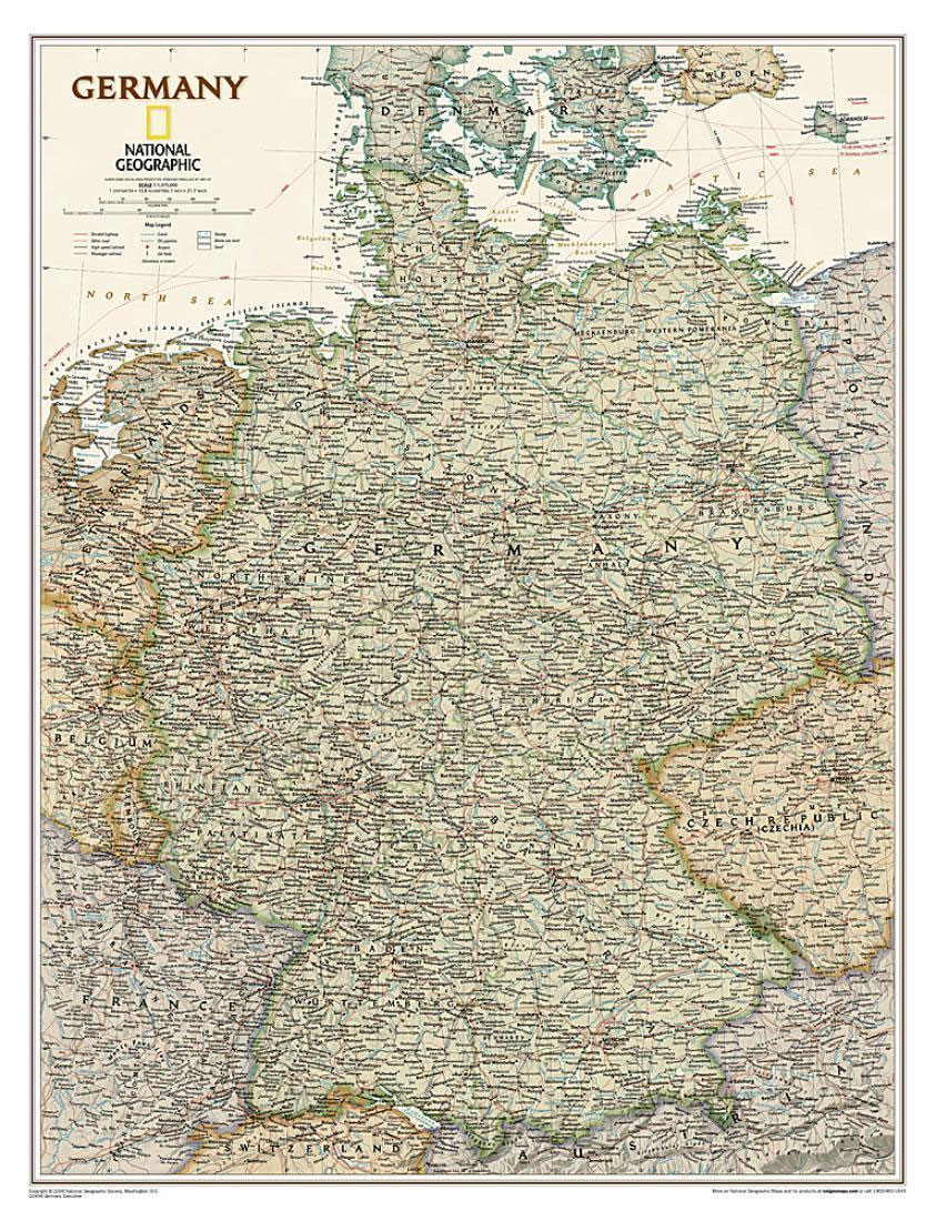
Germany at 1:1,375,000 on a wall map, size: 61 x 77cm (24″ x 30″ approx) ‘“ paper version, from the National Geographic Society in highly successful executive style with muted coluring designed to evoke antique maps.The map presents the division of Germany into individual states, showing their names in their English versions, e.g. Mecklenburg-Western Pomerania and not Mecklenburg-Vorpommern, or Rhineland-Palatinate and not Rheinland-Pfalz. Where appropriate, names of cities are shown in German first with the English equivalent in brackets: Kรถln (Cologne). Names of geographical features are given only in their German versions, e.g. Schwarzwald and not Black Forest, Donau and not Danube, etc.The map shows the network of main roads and railways, international airports and ferry routes on the Baltic and the North Sea. Topography is indicated by light relief shading, with spot heights and graphics for swamp areas. Latitude and longitude lines are drawn at 1ยฐ intervals.*This map is also available encapsulated.

Related Products:
 Germany NGS Classic Wall Map PAPER
 Germany NGS Executive Wall Map ENCAPSULATED
 Germany NGS Classic Wall Map ENCAPSULATED
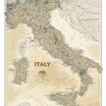 Italy NGS Executive Wall Map PAPER
 Canada NGS Executive Wall Map PAPER
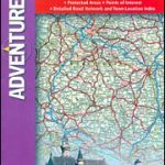 Germany Adventure Map
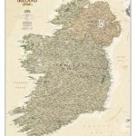 Ireland NGS Executive Wall Map PAPER
 Italy NGS Classic Wall Map PAPER
 Europe NGS Executive Wall Map PAPER
 Europe NGS Executive Wall Map LARGE PAPER
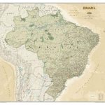 Brazil NGS Executive Wall Map PAPER
 Africa NGS Executive Wall Map PAPER
 Italy NGS Executive Wall Map ENCAPSULATED
 The Westway: Through Germany`s Black Forest
 Asia NGS Executive Wall Map PAPER
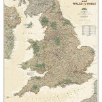 England and Wales NGS Executive Wall Map PAPER
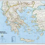 Greece NGS Classic Wall Map PAPER
 Germany and Benelux Inland Waterways Map
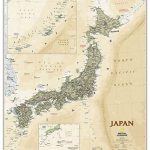 Japan NGS Executive Wall Map PAPER
 Future Map Company Commemorative Olympic World Wall Map PAPER
 Balkans NGS Classic Wall Map PAPER
 Germany South Hallwag Road Map
 Mediterranean Countries NGS Classic Wall Map PAPER
 Canada NGS Executive Wall Map ENCAPSULATED
 North America NGS Executive Wall Map PAPER
 World NGS Explorer Executive Wall Map PAPER
 Australia NGS Executive Wall Map PAPER
 Germany Northeast Michelin Regional 542
 Scotland NGS Executive Wall Map PAPER
 Scandinavia NGS Classic Wall Map PAPER
 Hiking and Cycling in the Black Forest: Walks, treks and cycle rides in southern Germany
 Russia NGS Classic Wall Map PAPER
 Germany: Kรผmmerly+Frey 275K Regional Road Map
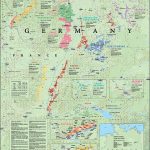 Germany De Long Wine Wall Map
 Canada NGS Classic Wall Map PAPER
Mexico NGS Executive Wall Map PAPER
Canada NGS Classic Wall Map PAPER
Mexico NGS Executive Wall Map PAPER
 Iraq NGS Classic Wall Map PAPER
 South East Asia Global Mapping Political Wall Map PAPER
 Germany ADAC Autobahn Map
 World NGS Executive Wall Map PAPER