Disclosure : This site contains affiliate links to products. We may receive a commission for purchases made through these links.
Germany: Bavarian 50K Topographic Survey Leisure Maps
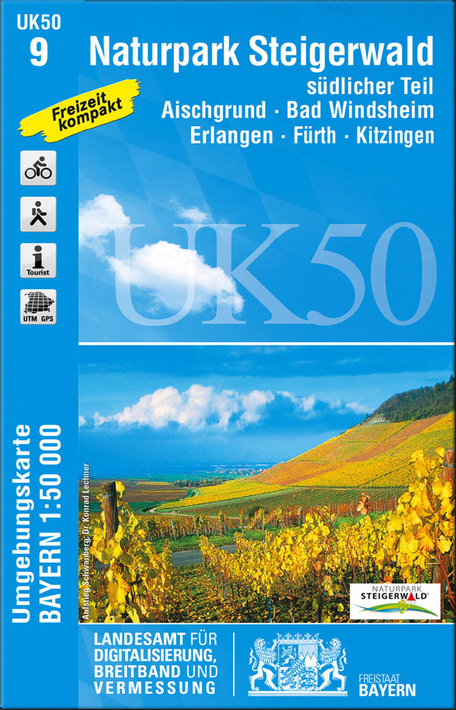
German Alps and the rest of Bavaria on special contoured and GP-compatible recreational maps from the Bavarian state survey organization, with cartography of the German topographic survey at 1:50,000 and extensive additional tourist overprint highlighting waymarked hiking trails and cycling routes, campsites and youth hostels, etc.All the maps have cartography identical to the standard topographic survey of Germany. Topography is vividly presented by contours at 20m intervals, enhanced by bold shading and graphic relief, plus colouring and/or graphics to show forests and other types of vegetation.Extensive tourist overprint highlights local and long-distance footpaths and cycle routes – including King Ludwig Way, different variants of the Way of St James, etc – indicating, where appropriate, their waymarking designation. Symbols show various types of accommodation (campsites, youth hostels, refuges, etc), sport and recreational facilities, places of interest, ski and cable car lift, etc. The maps have UTM grid lines at 1-km UTM intervals. Map legend and, where included, additional text, are in German only.

Related Products:
 Germany: Hesse 50K Topographic Survey Leisure Maps
 Germany: Bavarian 25K Topographic Maps
 Germany: Baden-Wรผrttemberg 50K Topographic Survey Leisure Maps
 Germany: Rhineland-Palatinate 50K Topographic Survey Recreational Maps
 Germany: Rhineland-Palatinate 25K Topographic Leisure Maps
 Germany: Alpenverein/Bavarian Survey 25K Hiking Maps
 Germany: Lower Saxony 50/40K Topographic Survey Leisure Maps
 Bavarian Rhon Nature Park UK50-01
 Bavarian Forest Nature Park South
 Bavarian Forest Regional Park: western part
Upper Bavarian Forest Nature Park East
Upper Bavarian Forest Regional Park: western part – Regensburg East
Bavarian Forest National Park – Nature Park East UK50-29
Bavarian Forest Regional Park: western part
Upper Bavarian Forest Nature Park East
Upper Bavarian Forest Regional Park: western part – Regensburg East
Bavarian Forest National Park – Nature Park East UK50-29
 Lindau – Naturpark Nagelfluhkette
 Kaufbeuren and the Surrounding Area
 Pfaffenhofen a.d. Ilm – Neuburg-Schrobenhausen
 Spessart NP North UK50-06
Martinique: IGN 25K Topographic Survey Maps
Spessart NP North UK50-06
Martinique: IGN 25K Topographic Survey Maps
 Ulm – Neu-Ulm – Gรผnzburg
 Iceland: 250K Topographic Survey Road Maps
 Naturpark Frankenhohe
 Luxembourg: 50K Topographic Survey Maps
 Dingolfing – Landau
 Oberpfรคlzer Wald NP UK50-20
 Ammersee – Starnberger See – Munich South
 Pfaffenwinkel – Northern Ammergau Alps UK50-49
 France: IGN 25K TOP25/Sรฉrie Bleue Topographic Survey Maps
 Hassberge Nature Park UK50-02
 Tolzer Land – Starnberger See UK50-52
 Germany: Freytag & Berndt Hiking and Leisure Maps
Kaufbeuren UK50-39
Hof – Selb – As – Mรผnchberg – Naila – Rehau
Germany: Freytag & Berndt Hiking and Leisure Maps
Kaufbeuren UK50-39
Hof – Selb – As – Mรผnchberg – Naila – Rehau
 Kempten and the Surrounding Area
Allgau Alps UK50-47
Franconian Forest Regional Park UK50-04
Kneippland – Unterallgรคu – Kaufbeuren – Memmingen UK50-38
Chiemsee – Chiemgau Alps UK50-54
Kempten and the Surrounding Area
Allgau Alps UK50-47
Franconian Forest Regional Park UK50-04
Kneippland – Unterallgรคu – Kaufbeuren – Memmingen UK50-38
Chiemsee – Chiemgau Alps UK50-54
 Augsburg
Inn-Salzach-Region – Rupertiwinkel – Eastern Chiemgau UK50-44
Landshut – Dingolfing – Moosburg a.d. Isar – Mainburg – Rottenburg a.d.Laaber UK50-35
Augsburg
Inn-Salzach-Region – Rupertiwinkel – Eastern Chiemgau UK50-44
Landshut – Dingolfing – Moosburg a.d. Isar – Mainburg – Rottenburg a.d.Laaber UK50-35