Disclosure : This site contains affiliate links to products. We may receive a commission for purchases made through these links.
Germany: Alan Godfrey Reproductions of British War Office WWII Maps of the Rhineland
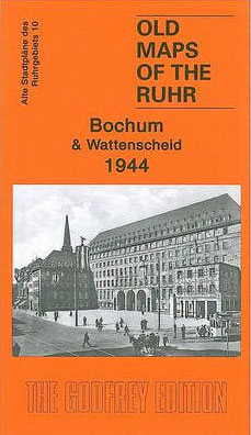
Alan Godfrey`s reproductions of the British War Office survey maps of first published in 1945 prior to the Allied occupation of the area, showing the region largely as it was before the bombing raids of 1943/1944. The series covers the major industrial area east of the Rhine that includes Bochum, Cologne, Dortmund, Essen, Gelsenkirchen, Oberhausen and other towns, with their great network of railways and industries. The maps are taken from the British War Office 1:12,500 plans and reduced at approximately 1:19,000.Published in 1945, prior to the Allied occupation of the area, the maps are especially good at showing industry, collieries and transport. They are not bombing maps – indeed, they make clear that allowance is not made for bomb damage – but show the areas with all their industrial sites and railways largely as they were before the bombing raids of 1943-44. The maps have additional information added by British intelligence. This is normally accurate but allowance must be made for the `fog of war` and occasional spelling mistakes, etc. Each title has on the reverse a specially written introduction to the area in English, with a shorter text in German. Map legend is in English only.

Related Products:
 Wuppertal: Elberfeld 1945 British War Office Survey Map
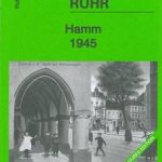 Hamm 1945 British War Office Survey Map
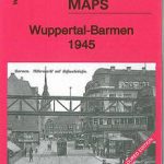 Wuppertal: Barmen 1945 British War Office Survey Map
 Hagen 1944 British War Office Survey Map
 Hohensyburg and Westhofen 1944 British War Office Survey Map
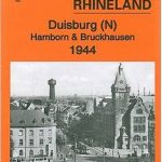 Duisburg North: Hamborn and Bruckhausen 1944 British War Office Survey Map
 Dortmund North 1944 British War Office Survey Map
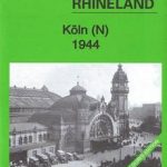 Koln (N) 1944: Cologne Sheet 1
 Koln (S) 1944: Cologne Sheet 2
 France: Alan Godfrey Reproductions of the GSGS Bigot Plans for the D-Day Landings
 Canada: ITMB/Canada Map Office Topographic Maps of British Columbia and the Rockies
 The MET Office Book of the British Weather
 Germany: Rhineland-Palatinate 25K Topographic Leisure Maps
 Old Folding Maps Reproductions of Letts 1884 English County Maps
 Germany: Rhineland-Palatinate 50K Topographic Survey Recreational Maps
 Great Britain: Reproductions of Old City Maps from the Old House Books
 Soho Publishing Reproductions of Pictorial Maps and Posters
 Old Folding Maps Reproductions of Historical Maps
 Mapping the Second World War: The History of the War Through Maps from 1939 to 1945
 Atlas: A World of Maps from the The British Library
 Atlas: A World of Maps from the British Library
 Austria/Germany/Slovenia: Kompass Hiking Maps
 British Railways Atlas 1947 and RCH Junction Diagrams
 Great Britain: Cassini Historical Reproductions of Ordnance Survey One-Inch Maps of England & Wales
 Great Britain: Harvey British Mountain Maps
 British Railway Atlas, 1955
 ABC British Railway Atlas
 British Railways Pre-Grouping Atlas & Gazetteer
 Great Britain: Godfrey Editions of Historical Ordnance Survey Inch to a Mile Maps of England & Wales
 Polar Region: British Antarctic Survey`s General Interest Maps
 Germany: Baden-Wรผrttemberg 50K Topographic Survey Leisure Maps
 Canada: ITMB Detailed Road Maps of British Columbia and the Canadian Rockies
 Great British Railway Journeys
 The Official History of Britain: Our Story in Numbers as Told by the Office For National Statistics
 British Isles Maps International Planning Map PAPER
 Germany: Michelin Regional Road Maps
 Germany: Freytag & Berndt “Top 10 Tips” Road Maps
 Germany: Hesse 50K Topographic Survey Leisure Maps
 Germany: Bavarian 50K Topographic Survey Leisure Maps
 Victorian Maps of England: The county and city maps of Thomas Moule