Disclosure : This site contains affiliate links to products. We may receive a commission for purchases made through these links.
Germany Adventure Map
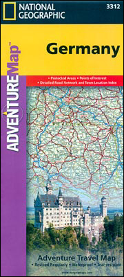
Germany on a double-sided road map 1:825,000 approx. from the National Geographic Society printed on light, waterproof and tear-resistant synthetic paper. Cartographic information provided by the German publishers Reise Know-How is presented here in the overall style of the NGS Adventure maps.The map divides the country north/south with a generous overlap between the sides. Names of German states are given in the original and in English (Sachsen / Saxony); geographical regions are in German only (so Schwarzwald, Bayerische Alpen, etc.) Topography is shown by colouring and shading with the names of the main geographic regions.Road network is clearly presented, although without indicating full/partial motorway interchanges or services; driving distances are shown on main routes. Railway lines are included, if not easy to see given the density of other detail, and domestic airports are marked. Symbols highlight a selection of the county’s numerous places of interest. Latitude and longitude lines are drawn at 1ยฐ intervals and the map has an index of place names.

Related Products:
 France Adventure Map
 Southern France Adventure Map
 Germany F&B
 Germany 700K F&B
 Germany – Benelux – Austria – Czechia Michelin
 Switzerland 200K DOUBLE-SIDED
 Switzerland: Michelin 200K Road Maps
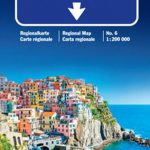
 Emilia-Romagna – Parma – Bologna – Ravenna K+F Regional Road Map 7
 Abruzzo – Molise – l`Aquila – Pescara – Campobasso K+F Regional Road Map 11
 Sardinia – Cagliari – Sassari K+F Regional Map 16
 Sicily – Palermo – Catania K+F Regional Map 15
 Italy: Kรผmmerly + Frey 200K Regional Road Maps
 Campania – Basilicata – Naples – Potenza – Bari K+F Regional Road Map 12
 Germany F&B Motorways Map
 Germany K+F Road Map
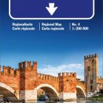 Veneto – Venice – Verona – Belluno K+F Regional Map 4
 Lombardy – Como – Milan – Brescia K+F Regional Map 2
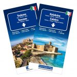
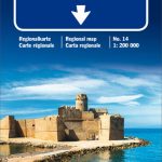 Calabria – Cosenza – Crotone – Reggio di Calabria K+F Regional Map 14
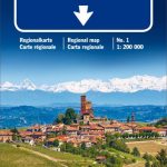 Piedmont – Aosta Valley K+F Regional Map 1
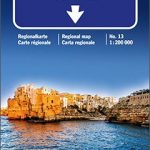 Apulia / Puglia – Foggia – Bari – Lecce K+F Regional Map 13
 Liguria – San Remo – Genoa – La Spezia K+F Regional Map 6
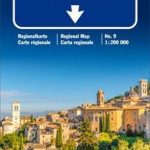 Marches – Umbria – Ancona – Perugia – Terni K+F Regional Map 9
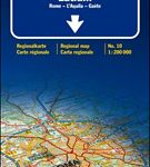 Lazio – Rome – l`Aquila – Gaeta K+F Regional Map 10
 Germany South K+F Road Map
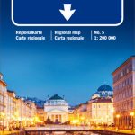 Friuli-Venezia Giulia – Venice – Udine – Trieste K+F Regional Map 5
 Germany North F&B
 United Kingdom NGS Adventure Map 3325
 Germany South F&B
 France IGN Mini Road Map
 Germany North Marco Polo Zoom Map
 Germany South Marco Polo Zoom Map
 Tuscany – Pisa – Florence – Siena K+F Regional Map 8
 Germany North West Michelin Regional 541
 Trentino – Alto Adige – Bolzano – Trento – Venice K+F Regional Map 3
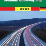
 Germany ADAC Autobahn Map
 Germany: Michelin Regional Road Maps
Bavaria Official Map – Standard Edition
Germany: Michelin Regional Road Maps
Bavaria Official Map – Standard Edition
 Germany Northeast Michelin Regional 542
 France: Michelin 500K Road Maps