Disclosure : This site contains affiliate links to products. We may receive a commission for purchases made through these links.
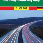
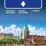
Germany ADAC Autobahn Map

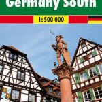
Germany on a very clear, double-sided map at 1:500,000 from ADAC – the country’s main motoring organization, showing the motorway network with facilities, likely congestion sections and frequent accident spots, plus enlargement at 1:250,000 for the main urban areas: The Ruhr, Berlin, Cologne, Frankfurt, Hamburg, Mannheim ‘“ Ludwigshafen, Munich, Nuremburg, Saarbrรผcken and Stuttgart.The map divides the country north/south with a good overlap between the sides. Road network is presented on a plain background with just rivers and lakes but without colouring or names of other topographic features. Motorway junctions have both names and numbers, and connecting roads are clearly numbered. Motorway facilities indicate accommodation options, snack bars, playgrounds, etc. Similar information is provided for motorways in the adjoining regions of the surrounding countries. Within Germany the map also indicates which sections are likely to have traffic jams or spots with frequent accidents. Map legend includes English.


