Disclosure : This site contains affiliate links to products. We may receive a commission for purchases made through these links.
Georgia & Armenia ITMB
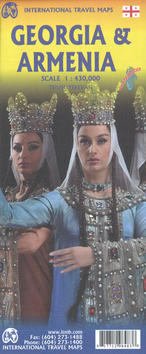
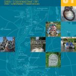
Armenia and Georgia at 1:430,000 on an indexed map from ITMB. Each side of the map covers the whole of one of these two countries, presented with a street plan of its capital. Diverse ethnography of the region is indicated on an inset.Topography is shown by altitude colouring in feet, with heights of peaks given in metres (and not in feet as indicated in the map legend). Mountain passes are annotated with months when passable. Swamp areas are marked and national parks or protected areas highlighted. The map shows the region’s road and rail networks, including selected seasonal tracks, and indicates local airports. Symbols highlight various places of interest: historical sites, beaches, winter sport areas, etc. All place names are in the Latin alphabet only. Latitude and longitude lines are drawn at 1ยฐ intervals. Each country has a separate index. Street plans of central Yerevan and Tbilisi name main streets and highlight various places of interest including selected foreign embassies. Also provided is an inset showing the distribution of various ethnographic groups.

Related Products:
 Armenia & Azerbaijan ITMB
 Taiwan & Taipei ITMB
 Cayman Islands & Jamaica ITMB
 Guyana, Suriname & French Guiana ITMB
 Indian Subcontinent ITMB Travel Atlas
 Morocco ITMB
 Caucasus ITMB
 Armenia Reise Know-How
 Namibia ITMB
 Belarus ITMB
 Panama ITMB
 Virgin Islands (US and British) ITMB
 India North East & Kolkata / Calcutta ITMB
 Sarawak – Sabah – Brunei ITMB
 Caribbean Islands Western Half ITMB Travel Atlas
 Mali ITMB
 Middle East ITMB Travel Atlas
 Seattle & Northwest USA ITMB
 Los Angeles & Southern California ITMB
 Kamchatka & Eastern Siberia ITMB
 Borneo / Kalimantan ITMB
 Chile ITMB
 Beijing & the Great Wall ITMB
 Togo & Benin ITMB
 Ethiopia & Eritrea ITMB
Lebanon & Beirut ITMB
Ethiopia & Eritrea ITMB
Lebanon & Beirut ITMB
 Greece ITMB
Oman & Yemen ITMB
Greece ITMB
Oman & Yemen ITMB
 China South ITMB
 Ho Chi Minh City / Saigon & Vietnam South ITMB
 Alaska`s Inside Passage – Seattle to Anchorage ITMB
 USA South: Atlantic States ITMB
 South East Asia ITMB
 Cuba ITMB
 Sumatra ITMB
 Japan South ITMB Railway & Road Map
 Madagascar ITMB
 Georgia Reise Know-How