Disclosure : This site contains affiliate links to products. We may receive a commission for purchases made through these links.
French Guiana Ign Map 84973
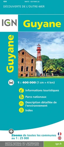
French Guiana, officially Guyane – the overseas administrative department of France, at 1:400,000 on an indexed map from the IGN, with enlargements showing in greater detail Cayenne and 22 other towns, highlighting for national parks and interesting natural features, etc.The map presents the country’s topography by relief shading for mountainous areas and graphics for different types of terrain and vegetation, including areas subject to flooding. Numerous smaller rivers are named. National parks and other interesting geographical features are highlighted. Road network indicates unsurfaced roads and cart tracks. Railway lines are included and local airports are marked. Names of larger towns are annotated with the number of inhabitants. Symbols indicate beaches, turtle egg-laying areas, thermal springs, medical facilities, etc. Also marked are boundaries of administrative subdivisions. The map has latitude and longitude lines at 30’ intervals and an index which includes the geographical features highlighted on the map. Map legend includes English.Cayenne and the areas around 22 other town are also shown in greater details on extract from IGN’s 1:50,000 topographic survey.


