Disclosure : This site contains affiliate links to products. We may receive a commission for purchases made through these links.
French Guiana: IGN 25K Topographic Survey Maps

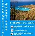
Topographic survey of the coastal part of French Guiana, published as an extension of IGNโ€s survey of France to its overseas departments. Contours are at 5m intervals and the maps indicate 13 different types of vegetation and land use, including rain forest, brushwood, savanna, high and low mangrove, rice fields, orchards and plantations, etc. The extent of changes in the coastline in the recent decades is indicated. The maps have a UTM grid and latitude/longitude lines at intervals of 5โ€. Map legend includes English.


