Disclosure : This site contains affiliate links to products. We may receive a commission for purchases made through these links.
Frankfurt am Main F&B
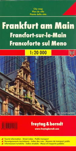
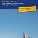
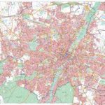
Indexed street map of Frankfurt am Main at 1:20,000 from Freytag & Berndt with an enlargement of the Sachsenhausen area at 1:10,000. Mapping is bright, colourful and clear, with one-way streets shown, as well as the U-bahn, S-bahn, bus and tram networks with stops clearly indicated.Points of interest such as St. Bartholomeus’ Cathedral, the Frankfurt stock exchange, theatres and parks are marked, as are local facilities. The enlargement of the area around Sachsenhausen shares the same mapping but with more clarity, and is indexed along with the main map on the reverse.A diagram of Frankfurt`s VGF Network (U-bahn, S-bahn, bus and tram) included. Map legend includes English.


