Disclosure : This site contains affiliate links to products. We may receive a commission for purchases made through these links.
France : Waterway Routes Through France
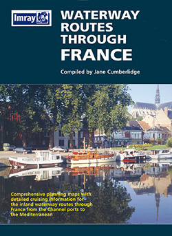
Waterway Routes Through France map presents the navigable waterways of the northern and eastern part of the country on six separate panels which combined can provide various alternatives routes for passing from the English Channel to the Mediterranean. The individual panels show the canal and river networks of Pas de Calais and Picardy, Ile de France, the Seine, the Marne and the Saรดne, the Central Canals in Burgundy, plus the Saรดne and the Rhรดne at scales between 1:600,000 and 1:390,000. Each route is annotated with technical information on the number of locks, draught, etc. and is accompanied by both navigating instructions and information on places of interest. An inset provides a list of conventional signs used on the French waterways and practical tips are given for safe navigation.

Related Products:
 Inland Waterways of France
 France Cycle Touring (8 long distance routes)
 France: Chamina Maps of Long-distance Mountain Bike Routes
 Cycling Northern France: Cycle Routes North of the Loire
 France: Inland Waterways Map
 France: IGN Long-distance GR Routes Maps
 France Greenways and Cycle Routes IGN Map 924
 France: Navicarte/Fluviacarte Guides to French Canals and Waterways
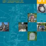
 La Seine
 Canal de Bourgogne: Laroche to St-Jean-de Losne
Lot
Canal de Bourgogne: Laroche to St-Jean-de Losne
Lot
 France IGN Greenways and Cycle Routes Wall Map
France: Editions du Breil Guides to Inland Waterways
France IGN Greenways and Cycle Routes Wall Map
France: Editions du Breil Guides to Inland Waterways
 Aquitaine
 Charente
 France Chamina Edition Greenways and Cycle Routes Atlas
Gironde Estuary
France Chamina Edition Greenways and Cycle Routes Atlas
Gironde Estuary
 Burgundy – Nivernais
Alsace – Lorraine
The Rhรดne to the Rhine Canal
Burgundy – Nivernais
Alsace – Lorraine
The Rhรดne to the Rhine Canal
 Meuse
Meuse
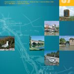
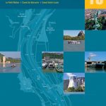 Rhรดne
Sรจvre Niortaise and the Poitou Marshes
Marne
Rhรดne
Sรจvre Niortaise and the Poitou Marshes
Marne
 Great Waterways Journeys: 20 Glorious Routes Circling England, by Canal and River
 Brittany
Loire – Nivernais
Brittany
Loire – Nivernais
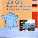 The Rhone
 Randonnรฉes dans les vignes de l’Ile de France
Picardie
Randonnรฉes dans les vignes de l’Ile de France
Picardie
 Champagne – Ardenne
 France: Rando Ed. Guides to the Way of St James to Compostela
 Canal du Midi
 Bourgogne / Franche-Comte
 USA: Map Maps Long-Distance Cross-Country Touring Routes
 The Great British Road Rides Guide: The Best of the UK in 55 Bike Routes
Inland Waterways of France Map
The Great British Road Rides Guide: The Best of the UK in 55 Bike Routes
Inland Waterways of France Map
 France: Rando Editions Coastal Tour of Brittany Cycling Atlases
 4×4 Routes Through Southern Africa