Disclosure : This site contains affiliate links to products. We may receive a commission for purchases made through these links.
France: IGN 100K Top100 Road Maps of France
TOP100 road maps of France from the Institut Gรฉographique National (IGN); exceptionally detailed, contoured road maps, ideal for exploring the French countryside by car, by bike, or even on foot. Used by millions of locals and tourists alike, this series provides an excellent balance between coverage of a sufficiently wide area and detailed road presentation, plus topographic information not found on other road maps. For several decades now these maps have been one of Stanfords’ leading bestsellers.Now based on IGN’s digital data used to produce the country’s topographic survey at more detailed scales, presentation has been sharpened to make small local roads stand out better. Contour interval varies according to the terrain, from 10m along the coast to 40m in the mountainous areas, enhanced by relief shading. Additional colouring shows different types of vegetation or land use (woods, vineyards, orchards, etc). The maps have a 5-km UTM grid for GPS users, plus a latitude and longitude grid at 15’ intervals.The series includes plenty of tourist information. For walkers the maps have an overprint highlighting long-distance footpaths, the GR routes, making them an ideal supplement to topo-guides. A wide range of symbols mark various places of interest, sport and recreational facilities, mountain refuges, gรฎtes d’etape, etc. The maps carry all the usual information found on topographic maps at this scale: peaks, glaciers, passes, names of mountain ranges and other geographical features, railways with stations, funiculars, ski and chair lifts, administrative boundaries, etc. Map legend includes English. For information on the exact area covered by each title please see individual entries.

Related Products:
 Italy: Ed. Multigraphic 100K Road Maps of Tuscany & Adjoining Areas
 Paris – Compiegne – PNR Oise-Pays de France IGN TOP100 109
 France: IGN 150K Departmental Road Maps
 Israel: 100K Topographic Survey Maps
 France: Michelin 500K Road Maps
 China: Reise Know-How Road Maps
France: Michelin 150K Local Road Maps
France: IGN Maps of Environs of Main Cities
China: Reise Know-How Road Maps
France: Michelin 150K Local Road Maps
France: IGN Maps of Environs of Main Cities
 Norway: Turkart 100K Topographic Hiking Maps
 Denmark: 100K Topographic Survey Maps
 Great Britain: A-Z Regional Road Maps and Atlases
France: IGN 200/250K Regional Maps
Croatia: Kompass 100K Maps of the Dalmatian Coast
Great Britain: A-Z Regional Road Maps and Atlases
France: IGN 200/250K Regional Maps
Croatia: Kompass 100K Maps of the Dalmatian Coast
 France: Michelin 200K Regional Road Maps
 Sweden: Lantmรคteriet 100K/50K Mountain Survey Maps
 Great Britain: AA Regional Road Maps
 Canada: Reise Know-How Regional Road Maps
 Argentina: Firestone Regional Road Maps
 France: AA Regional Touring Maps
 Spain: CNIG 200K Provincial Road Maps
 Spain: CNIG Road Maps of Autonomous Administrative Regions
 Greece: Anavasi 100K Touring Maps of Crete
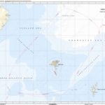
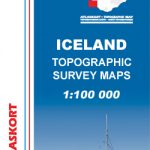
 Iceland: 250K Topographic Survey Road Maps
USA: Benchmark Maps State Road Maps
Iceland: 250K Topographic Survey Road Maps
USA: Benchmark Maps State Road Maps
 France: IGN 200K Tourist Maps
 Ukraine: Kartografija 500K Road Maps
 Spain: Michelin Zoom Espaรฑa Road Maps
 Greece: Terrain Editions 100K Touring Maps of Crete
 Amiens – Arras IGN TOP100 103
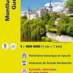 Montlucon – Gueret IGN TOP100 140
 Besancon – Montbeliard IGN TOP100 137
 Dax – Bayonne – Pays Basque IGN TOP100 166
 Iceland: Mรกl og menning`s 100K Topographic Survey Maps
 France: IGN 75K/25K TOP75 Recreational Maps
 France: Didier Richard Hiking Maps of South Eastern France and Corsica
 Brest – Quimper – PNR d`Armorique IGN TOP100 113
 Nevers – Autun – PNR du Morvan IGN TOP100 135
 Le Mans – Alencon – PNR du Perche IGN TOP100 126
 Poitiers – Chatellerault – PNR de la Brenne IGN TOP100 139
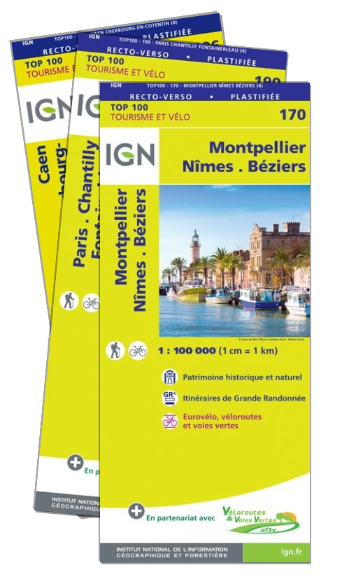
 Montpellier – Nimes – Beziers IGN TOP100 170